Transport Functions
Multimodal
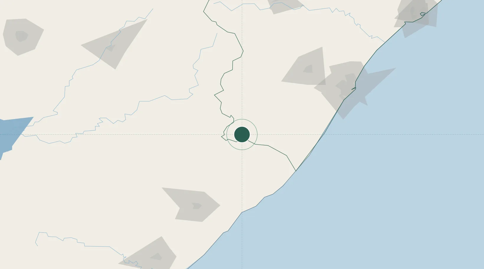
Hub Profile
Place type
District seat
Region
KwaZulu-Natal
Population
61,751
Time zone
Africa/Johannesburg
Elevation
1,316 m
Location
Nearby Logistics Neighbours
Cities
- 1Creighton70 km
- 2Faerie Glen94 km
- 3Port Edward95 km
- 4Southbroom95 km
- 5Hibberdene112 km
Ports
- 1Durban176 km
- 2East London310 km
- 3Richards Bay323 km
- 4Port Elizabeth519 km
- 5Maputo595 km
Airports
- 1Margate Airport95 km
- 2Port St Johns Airport118 km
- 3K. D. Matanzima Airport132 km
- 4Pietermaritzburg Airport138 km
- 5Virginia Airport180 km
Trade Zones
- 1Wild Coast (Mthatha) Special Economic Zone130 km
- 2Vulindlela Industrial Park132 km
- 3Dube TradePort192 km
- 4Dube AgriZone192 km
- 5Dube TradeZone194 km
DatabookThe Record of Consolidated Knowledge
South Africa beyond logistics?