UN/LOCODE hub · South Africa
ZAZCW
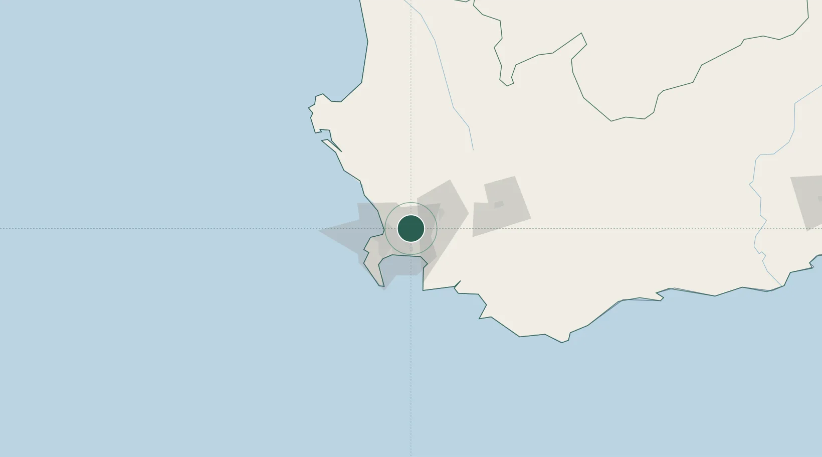
Kraaifontein
-33.8500°, 18.7167°
57,911
Population
1
Transport functions
Transport Functions
Multimodal
Hub Profile
Place type
Populated place
Region
Western Cape
Population
57,911
Time zone
Africa/Johannesburg
Elevation
102 m
Location
Nearby Logistics Neighbours
Cities
- 1Brackenfell4 km
- 2Stellenberg6 km
- 3Stikland9 km
- 4Welgemoed9 km
- 5Blackheath12 km
Ports
- 1Cape Town29 km
- 2Simonstown45 km
- 3Saldanha Bay114 km
- 4Mossel Bay318 km
- 5Port Elizabeth639 km
Airports
- 1Cape Town International Airport17 km
- 2Ysterplaat Air Force Base21 km
- 3Robertson Airport110 km
- 4Langebaanweg Airport111 km
- 5Saldanha/Vredenburg Airport121 km
Trade Zones
DatabookThe Record of Consolidated Knowledge
South Africa beyond logistics?