UN/LOCODE hub · South Africa
ZAZCG
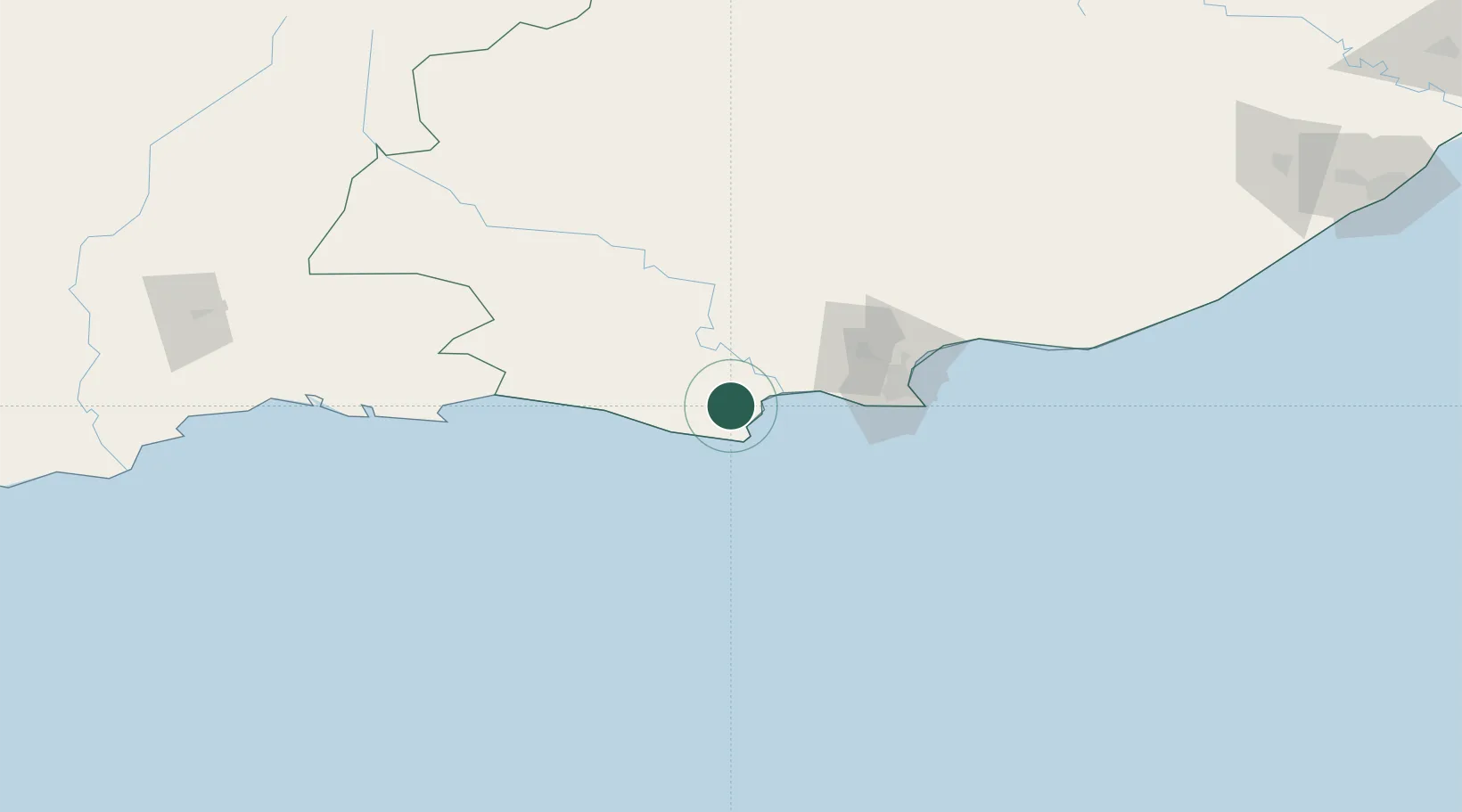
Humansdorp
-34.0333°, 24.7667°
34,733
Population
1
Transport functions
Transport Functions
Multimodal
Hub Profile
Place type
Populated place
Region
Eastern Cape
Population
34,733
Time zone
Africa/Johannesburg
Elevation
137 m
Location
Nearby Logistics Neighbours
Cities
- 1Patensie32 km
- 2Colleen Glen56 km
- 3Springfield72 km
- 4Perseverance73 km
- 5Newton Park74 km
Ports
- 1Port Elizabeth81 km
- 2Mossel Bay242 km
- 3East London312 km
- 4Simonstown583 km
- 5Cape Town586 km
Airports
- 1Chief Dawid Stuurman International Airport79 km
- 2Plettenberg Bay Airport133 km
- 3George Airport220 km
- 4Oudtshoorn Airport243 km
- 5Bisho Airport265 km
Trade Zones
DatabookThe Record of Consolidated Knowledge
South Africa beyond logistics?