Transport Functions
Multimodal
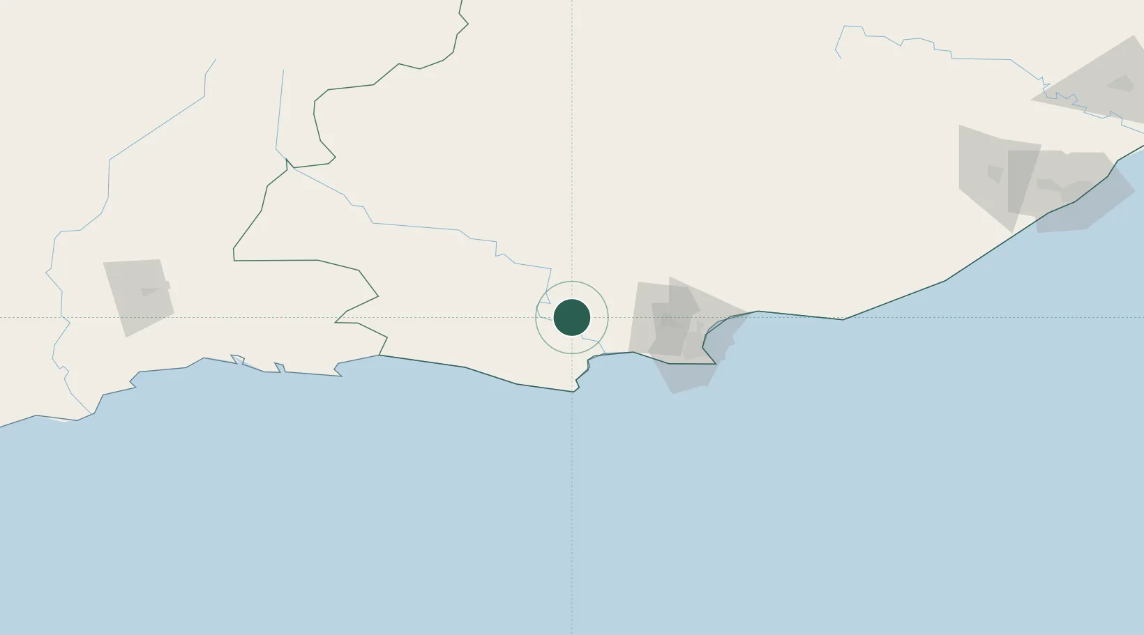
Hub Profile
Place type
Populated place
Region
Eastern Cape
Population
6,304
Time zone
Africa/Johannesburg
Elevation
68 m
Location
Nearby Logistics Neighbours
Cities
- 1Humansdorp32 km
- 2Colleen Glen56 km
- 3Perseverance65 km
- 4Korsten72 km
- 5Springfield73 km
Ports
- 1Port Elizabeth80 km
- 2Mossel Bay251 km
- 3East London299 km
- 4Simonstown590 km
- 5Cape Town591 km
Airports
- 1Chief Dawid Stuurman International Airport79 km
- 2Plettenberg Bay Airport142 km
- 3George Airport227 km
- 4Oudtshoorn Airport244 km
- 5Bisho Airport248 km
Trade Zones
DatabookThe Record of Consolidated Knowledge
South Africa beyond logistics?