UN/LOCODE hub · South Africa
ZAZCS
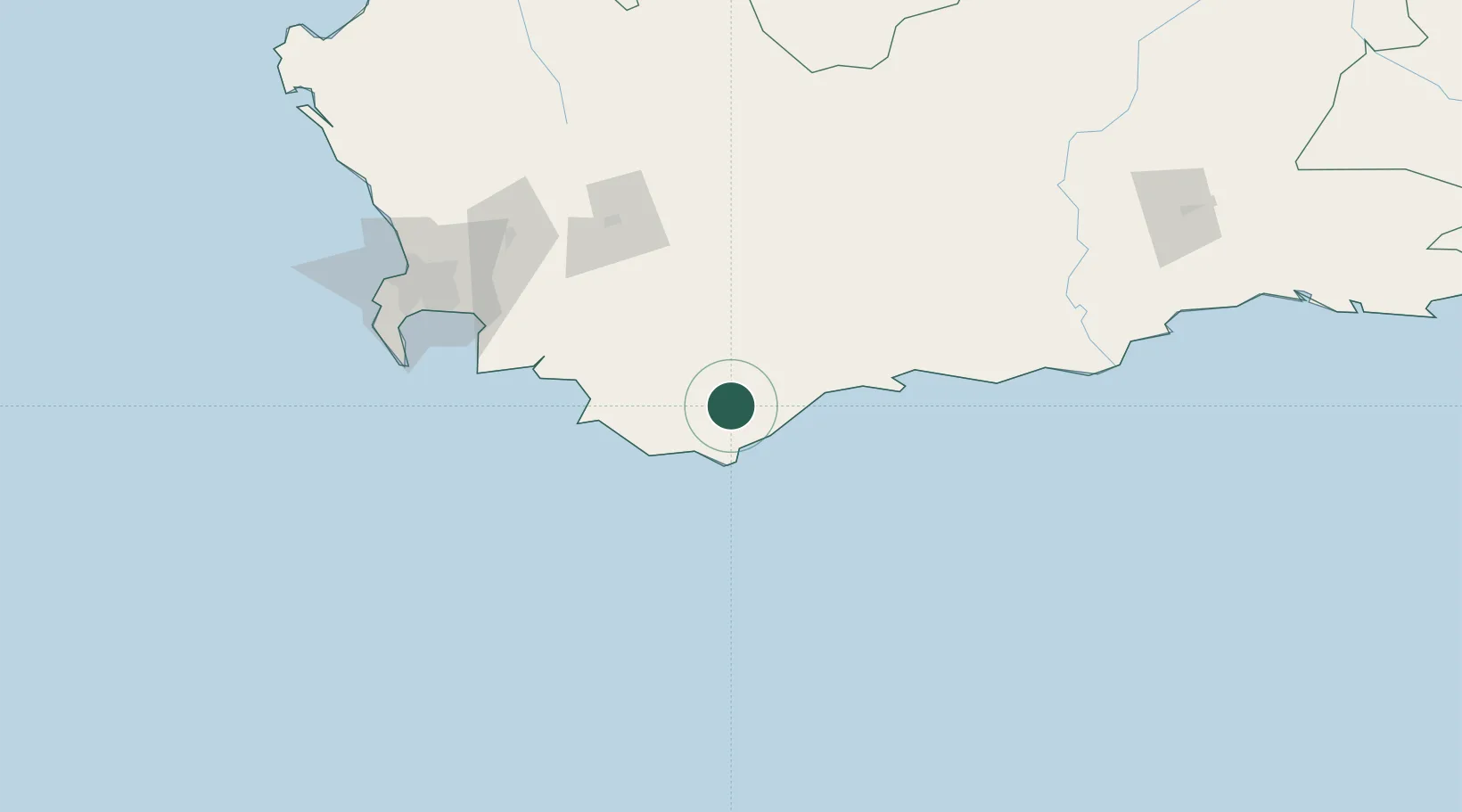
Bredasdorp
-34.5333°, 20.0333°
18,599
Population
1
Transport functions
Transport Functions
Multimodal
Hub Profile
Place type
Provincial seat
Region
Western Cape
Population
18,599
Time zone
Africa/Johannesburg
Elevation
84 m
Location
Nearby Logistics Neighbours
Cities
- 1Elim27 km
- 2Riviersonderend44 km
- 3Goudiniweg66 km
- 4Ashton80 km
- 5Villiersdorp92 km
Ports
- 1Simonstown152 km
- 2Cape Town164 km
- 3Mossel Bay198 km
- 4Saldanha Bay254 km
- 5Port Elizabeth520 km
Airports
- 1Robertson Airport81 km
- 2Cape Town International Airport145 km
- 3Ysterplaat Air Force Base158 km
- 4George Airport223 km
- 5Oudtshoorn Airport224 km
Trade Zones
DatabookThe Record of Consolidated Knowledge
South Africa beyond logistics?