Transport Functions
Port
Multimodal
Hub Profile
Place type
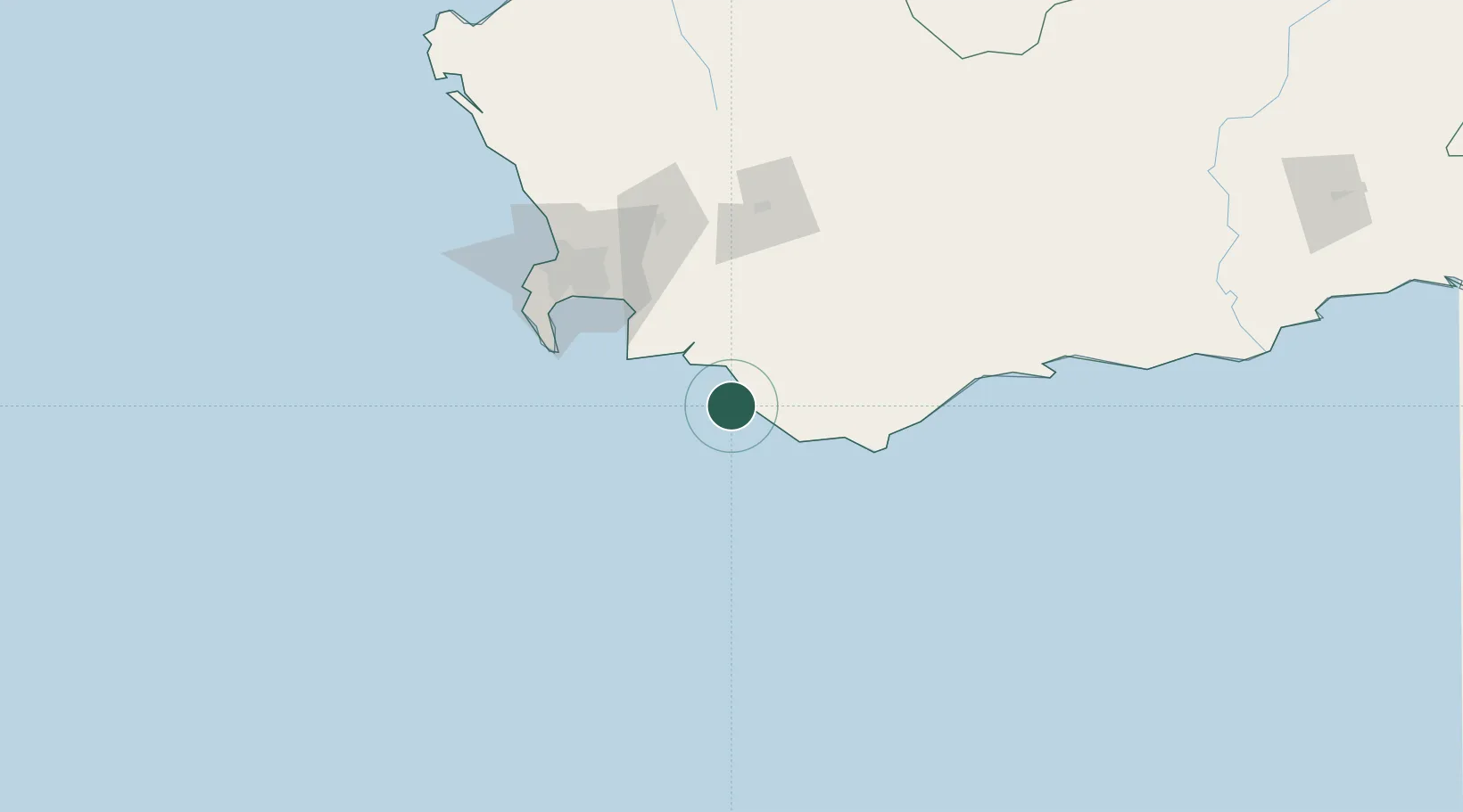
Populated place
Region
Western Cape
Time zone
Africa/Johannesburg
Location
Nearby Logistics Neighbours
Cities
- 1Elim40 km
- 2Vyeboom62 km
- 3Bredasdorp66 km
- 4Villiersdorp69 km
- 5Strand70 km
Ports
- 1Simonstown93 km
- 2Cape Town112 km
- 3Saldanha Bay214 km
- 4Mossel Bay264 km
- 5Port Elizabeth586 km
Airports
- 1Cape Town International Airport96 km
- 2Robertson Airport103 km
- 3Ysterplaat Air Force Base108 km
- 4Langebaanweg Airport211 km
- 5Saldanha/Vredenburg Airport220 km
Trade Zones
DatabookThe Record of Consolidated Knowledge
South Africa beyond logistics?