Transport Functions
Multimodal
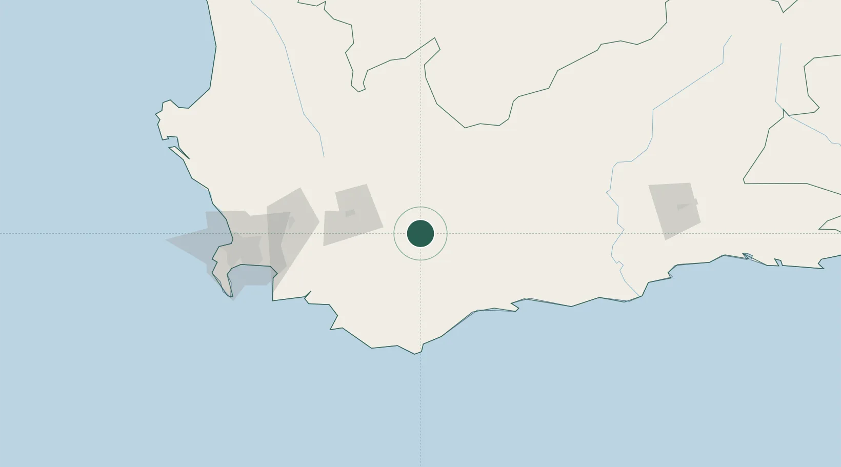
Hub Profile
Place type
District seat
Region
Western Cape
Population
15,964
Time zone
Africa/Johannesburg
Elevation
185 m
Location
Nearby Logistics Neighbours
Cities
- 1Riviersonderend40 km
- 2Hexrivier57 km
- 3Rawsonville69 km
- 4Villiersdorp73 km
- 5Bredasdorp80 km
Ports
- 1Cape Town151 km
- 2Simonstown154 km
- 3Mossel Bay197 km
- 4Saldanha Bay212 km
- 5Port Elizabeth516 km
Airports
- 1Robertson Airport14 km
- 2Cape Town International Airport135 km
- 3Ysterplaat Air Force Base144 km
- 4Langebaanweg Airport199 km
- 5Oudtshoorn Airport199 km
Trade Zones
DatabookThe Record of Consolidated Knowledge
South Africa beyond logistics?