Transport Functions
Multimodal
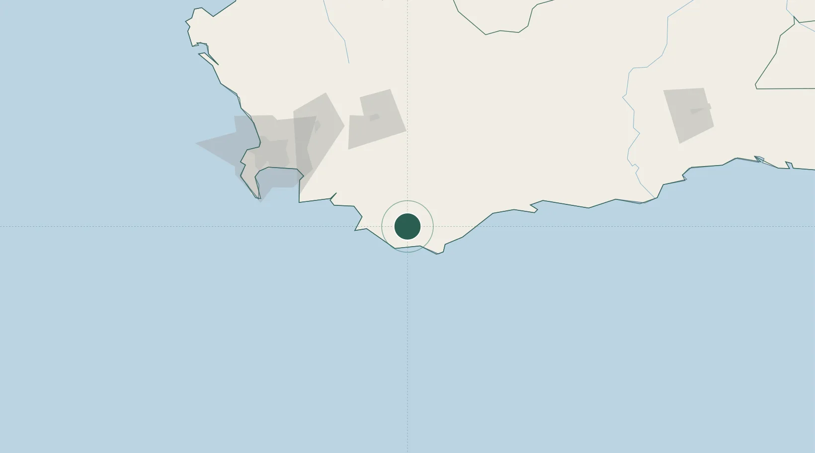
Hub Profile
Place type
Populated place
Region
Western Cape
Population
1,691
Time zone
Africa/Johannesburg
Elevation
48 m
Location
Nearby Logistics Neighbours
Cities
- 1Bredasdorp27 km
- 2Goudiniweg40 km
- 3Riviersonderend50 km
- 4Villiersdorp79 km
- 5Vyeboom82 km
Ports
- 1Simonstown128 km
- 2Cape Town143 km
- 3Mossel Bay225 km
- 4Saldanha Bay238 km
- 5Port Elizabeth546 km
Airports
- 1Robertson Airport87 km
- 2Cape Town International Airport125 km
- 3Ysterplaat Air Force Base138 km
- 4Langebaanweg Airport232 km
- 5Saldanha/Vredenburg Airport244 km
Trade Zones
DatabookThe Record of Consolidated Knowledge
South Africa beyond logistics?