UN/LOCODE hub · South Africa
ZA7WC
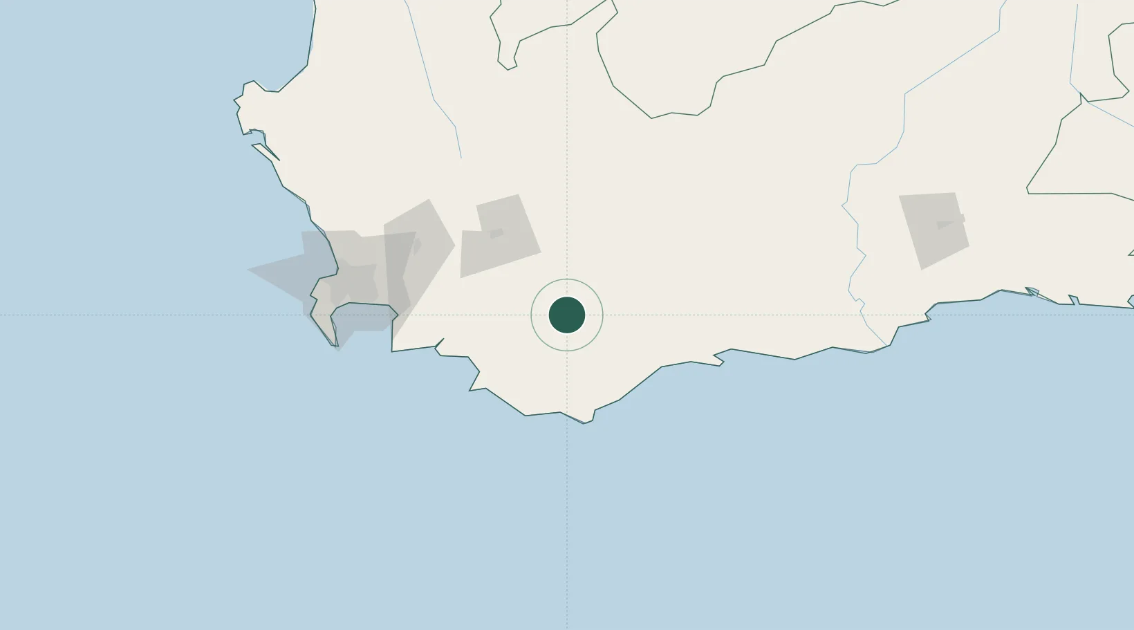
Riviersonderend
-34.1500°, 19.9000°
6,284
Population
2
Transport functions
Transport Functions
Port
Multimodal
Hub Profile
Place type
Populated place
Region
Western Cape
Population
6,284
Time zone
Africa/Johannesburg
Elevation
163 m
Location
Nearby Logistics Neighbours
Cities
- 1Ashton40 km
- 2Bredasdorp44 km
- 3Elim50 km
- 4Villiersdorp60 km
- 5Vyeboom73 km
Ports
- 1Simonstown135 km
- 2Cape Town139 km
- 3Mossel Bay207 km
- 4Saldanha Bay218 km
- 5Port Elizabeth529 km
Airports
- 1Robertson Airport38 km
- 2Cape Town International Airport121 km
- 3Ysterplaat Air Force Base132 km
- 4Langebaanweg Airport208 km
- 5Oudtshoorn Airport220 km
Trade Zones
DatabookThe Record of Consolidated Knowledge
South Africa beyond logistics?