UN/LOCODE hub · South Africa
ZAMUR
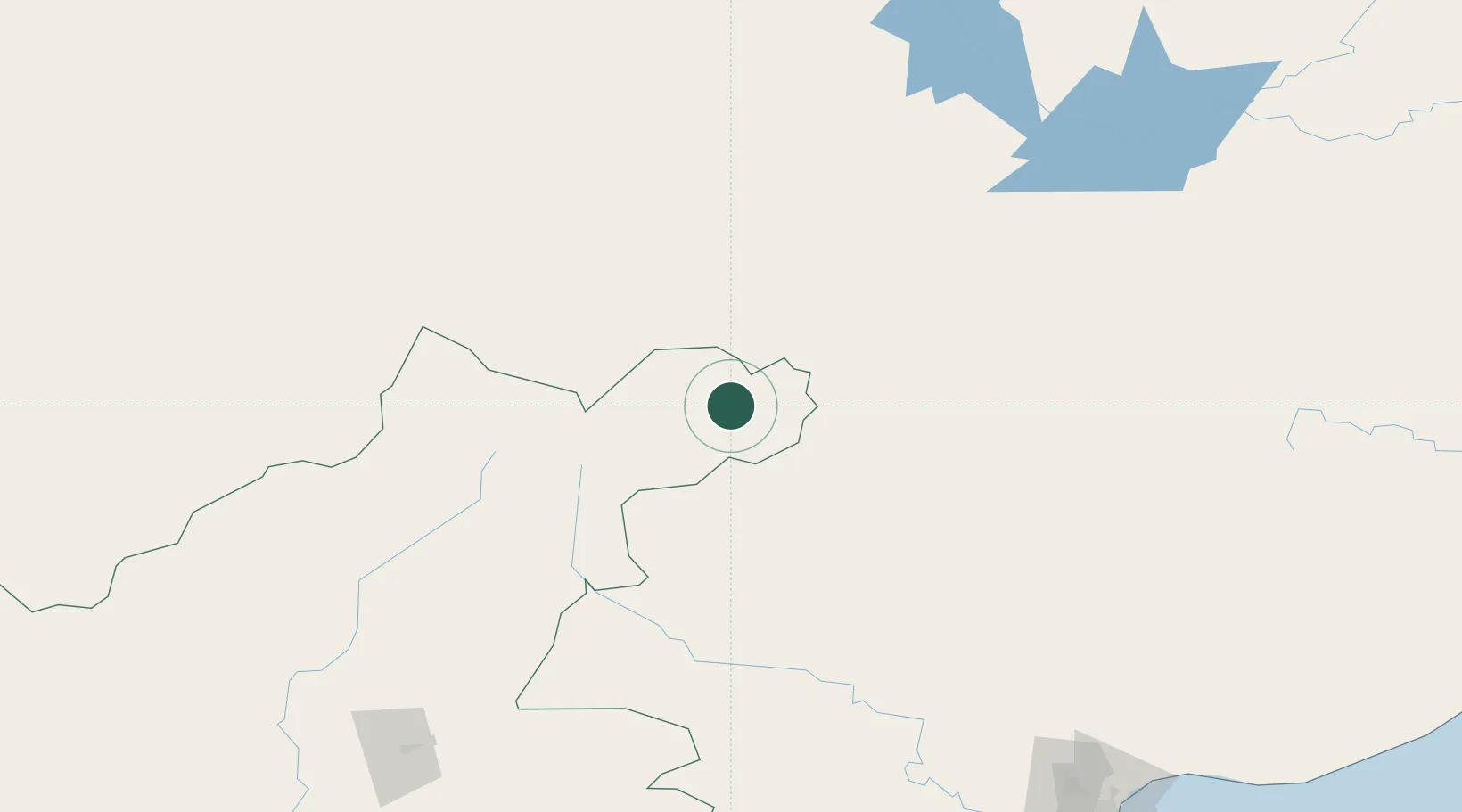
Murraysburg
-31.9500°, 23.7667°
6,073
Population
1
Transport functions
Transport Functions
Multimodal
Hub Profile
Place type
Populated place
Region
Western Cape
Population
6,073
Time zone
Africa/Johannesburg
Elevation
1,185 m
Location
Nearby Logistics Neighbours
Cities
- 1Graaff Reinet81 km
- 2Hex River130 km
- 3Jansenville138 km
- 4Amsterdam179 km
- 5Somerset East191 km
Ports
- 1Port Elizabeth283 km
- 2Mossel Bay290 km
- 3East London407 km
- 4Cape Town545 km
- 5Simonstown555 km
Airports
- 1Oudtshoorn Airport236 km
- 2Plettenberg Bay Airport241 km
- 3George Airport263 km
- 4Chief Dawid Stuurman International Airport285 km
- 5Queenstown Airport294 km
Trade Zones
DatabookThe Record of Consolidated Knowledge
South Africa beyond logistics?