UN/LOCODE hub · South Africa
ZANGQ

Port of Ngqura

-33.7667°, 25.6667°
2
Transport functions

Transport Functions

Port
Multimodal
UN/LOCODE

Hub Profile

Region
EC
GeoNames

Location

Location of ZANGQ
Natural Earth 10m (public domain) · EC · ZANGQ · -33.77, 25.67GoogleOSMYandex

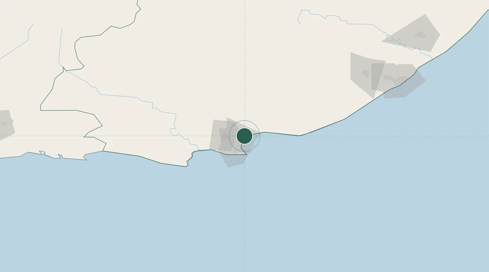
Nearby Logistics Neighbours

Cities
  1. 1Coega4 km
  2. 2Port Elizabeth12 km
  3. 3New Brighton West14 km
  4. 4Perseverance15 km
  5. 5Korsten19 km
Nearest neighbours — logibook spatial index (haversine) over the source coordinates
Ports
  1. 1Port Elizabeth21 km
  2. 2East London224 km
  3. 3Mossel Bay328 km
  4. 4Simonstown668 km
  5. 5Durban669 km
Nearest neighbours — logibook spatial index (haversine) over the source coordinates
Airports
  1. 1Chief Dawid Stuurman International Airport25 km
  2. 2Bisho Airport178 km
  3. 3King Phalo Airport216 km
  4. 4Plettenberg Bay Airport219 km
  5. 5Queenstown Airport235 km
Nearest neighbours — logibook spatial index (haversine) over the source coordinates
Trade Zones
  1. 1Coega Industrial Development Zone1 km
  2. 2Somerset East Industrial Park114 km
  3. 3Dimbaza Industrial Park176 km
  4. 4East London Industrial Development Zone218 km
  5. 5Komani Industrial Park237 km
Nearest neighbours — logibook spatial index (haversine) over the source coordinates
DatabookThe Record of Consolidated Knowledge
South Africa beyond logistics?
Browse databook

All Sources

LocationsUN/LOCODE
UN/LOCODE — free
Portsthe NGA World Port Index
Public domain (US gov)
AirportsOurAirports
Public domain
Trade Zonesthe World Bank SEZ database
CC BY 4.0
Trade ZonesOpen Zone Map
CC BY
← South Africa locations