UN/LOCODE hub · South Africa
ZAZBW
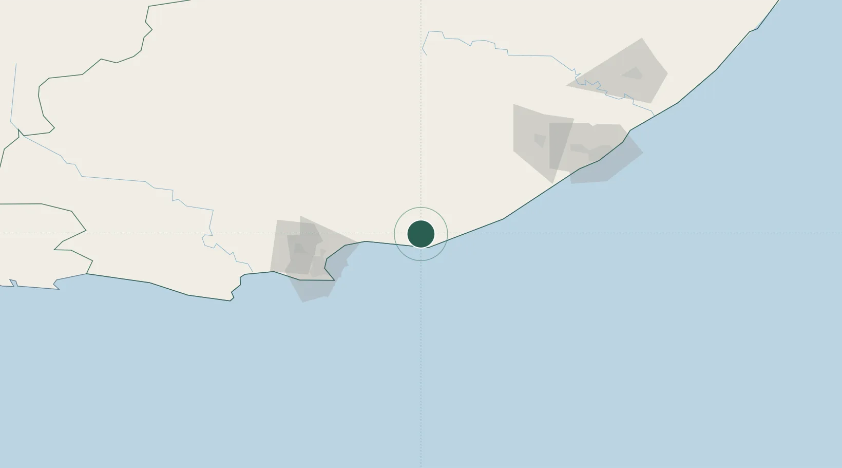
Alexandria
-33.6500°, 26.4167°
12,084
Population
1
Transport functions
Transport Functions
Multimodal
Hub Profile
Place type
Populated place
Region
Eastern Cape
Population
12,084
Time zone
Africa/Johannesburg
Elevation
175 m
Location
Nearby Logistics Neighbours
Cities
- 1Kenton-on-Sea22 km
- 2Port of Ngqura71 km
- 3Coega71 km
- 4Port Elizabeth78 km
- 5New Brighton West80 km
Ports
- 1Port Elizabeth79 km
- 2East London155 km
- 3Mossel Bay398 km
- 4Durban608 km
- 5Simonstown739 km
Airports
- 1Chief Dawid Stuurman International Airport83 km
- 2Bisho Airport116 km
- 3King Phalo Airport148 km
- 4Queenstown Airport197 km
- 5Plettenberg Bay Airport289 km
Trade Zones
DatabookThe Record of Consolidated Knowledge
South Africa beyond logistics?