Transport Functions
Port
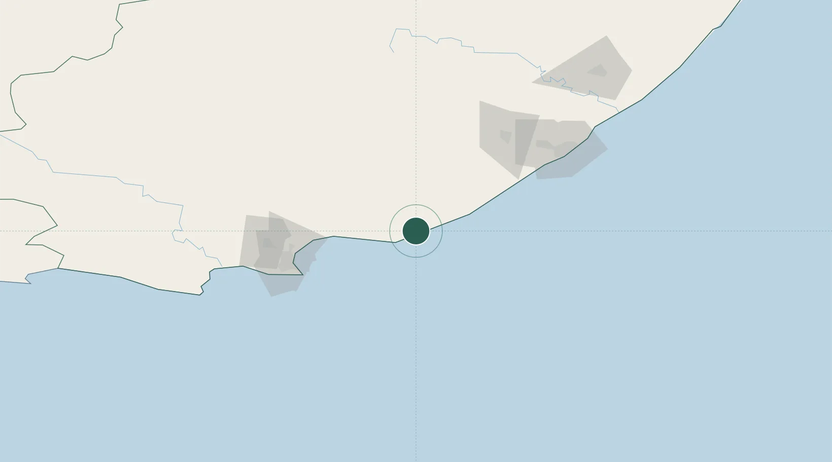
Hub Profile
Place type
Populated place
Region
Eastern Cape
Time zone
Africa/Johannesburg
Elevation
39 m
Location
Nearby Logistics Neighbours
Cities
- 1Alexandria22 km
- 2Port of Ngqura92 km
- 3Coega92 km
- 4Port Elizabeth98 km
- 5Summerstrand99 km
Ports
- 1Port Elizabeth98 km
- 2East London137 km
- 3Mossel Bay419 km
- 4Durban594 km
- 5Richards Bay748 km
Airports
- 1Chief Dawid Stuurman International Airport102 km
- 2Bisho Airport104 km
- 3King Phalo Airport130 km
- 4Queenstown Airport195 km
- 5K. D. Matanzima Airport303 km
Trade Zones
DatabookThe Record of Consolidated Knowledge
South Africa beyond logistics?