UN/LOCODE hub · South Africa
ZAZBA
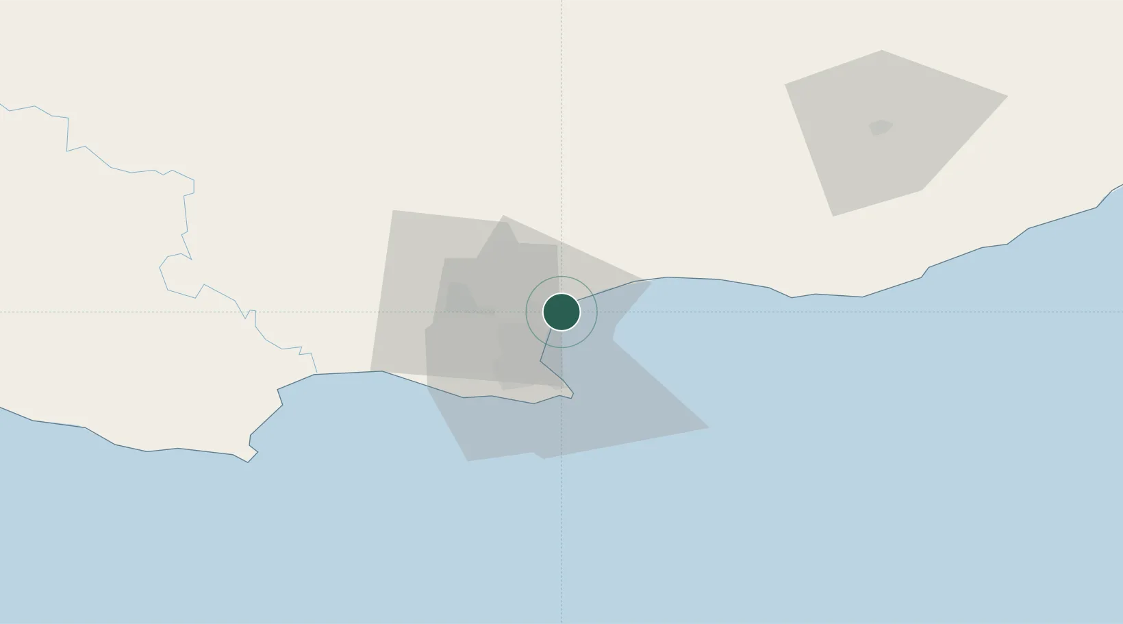
Coega
-33.8041°, 25.6722°
2
Transport functions
1
Container terminals
Transport Functions
Port
Multimodal
Hub Profile
Place type
Populated place
Region
Eastern Cape
Time zone
Africa/Johannesburg
Elevation
51 m
Logistics facilities
5
Container terminals
1
Location
Nearby Logistics Neighbours
Cities
- 1Port of Ngqura4 km
- 2Port Elizabeth9 km
- 3New Brighton West11 km
- 4Perseverance14 km
- 5North End16 km
Ports
- 1Port Elizabeth17 km
- 2East London225 km
- 3Mossel Bay328 km
- 4Simonstown668 km
- 5Cape Town670 km
Airports
- 1Chief Dawid Stuurman International Airport21 km
- 2Bisho Airport180 km
- 3King Phalo Airport217 km
- 4Plettenberg Bay Airport219 km
- 5Queenstown Airport238 km
Trade Zones
DatabookThe Record of Consolidated Knowledge
South Africa beyond logistics?