UN/LOCODE hub · South Africa
ZAPLZ
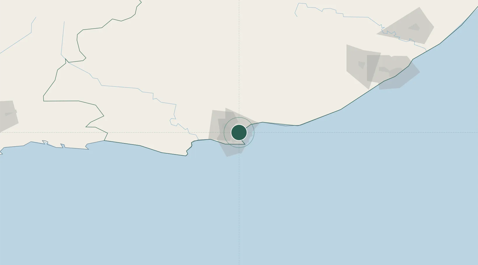
Port Elizabeth
-33.8624°, 25.6114°
3
Transport functions
1
Container terminals
Transport Functions
Port
Airport
Postal
Hub Profile
Logistics facilities
17
Container terminals
1
Location
Nearby Logistics Neighbours
Cities
- 1New Brighton West3 km
- 2Korsten7 km
- 3North End8 km
- 4Coega9 km
- 5Perseverance10 km
Ports
- 1East London233 km
- 2Mossel Bay321 km
- 3Simonstown662 km
- 4Cape Town664 km
- 5Durban680 km
Airports
- 1Chief Dawid Stuurman International Airport14 km
- 2Bisho Airport188 km
- 3Plettenberg Bay Airport212 km
- 4King Phalo Airport225 km
- 5Queenstown Airport246 km
Trade Zones
DatabookThe Record of Consolidated Knowledge
South Africa beyond logistics?