Transport Functions
Multimodal
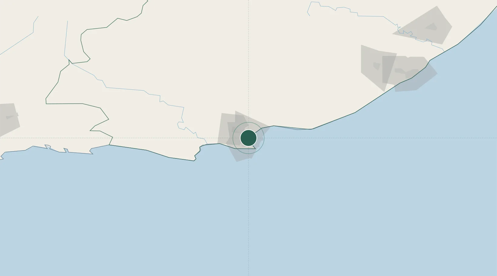
Location
Nearby Logistics Neighbours
Cities
- 1Port Elizabeth3 km
- 2Korsten5 km
- 3North End6 km
- 4Newton Park8 km
- 5Perseverance11 km
Ports
- 1Port Elizabeth9 km
- 2East London235 km
- 3Mossel Bay320 km
- 4Simonstown661 km
- 5Cape Town663 km
Airports
- 1Chief Dawid Stuurman International Airport12 km
- 2Bisho Airport191 km
- 3Plettenberg Bay Airport211 km
- 4King Phalo Airport227 km
- 5Queenstown Airport249 km
Trade Zones
DatabookThe Record of Consolidated Knowledge
South Africa beyond logistics?