Transport Functions
Rail
Road
Multimodal
Hub Profile
Place type
Populated place
Region
Western Cape
Time zone
Africa/Johannesburg
Elevation
410 m
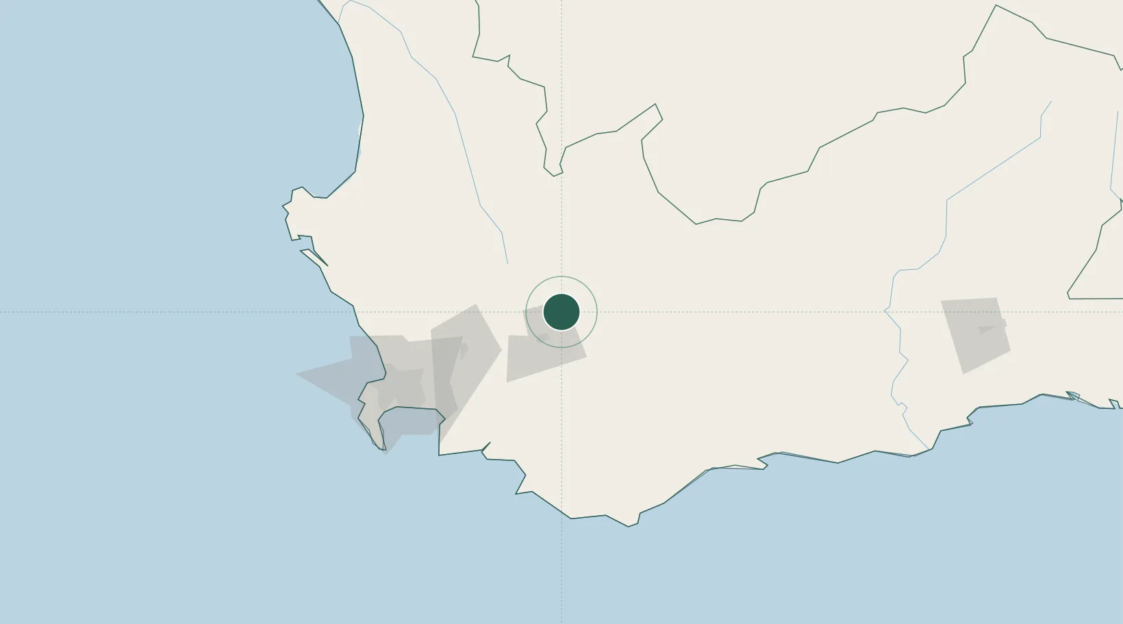
Location
Nearby Logistics Neighbours
Cities
- 1Rawsonville33 km
- 2Gouda55 km
- 3Ashton57 km
- 4Op-die-Berg59 km
- 5Paarl Wpk60 km
Ports
- 1Cape Town118 km
- 2Simonstown132 km
- 3Saldanha Bay158 km
- 4Mossel Bay249 km
- 5Port Elizabeth563 km
Airports
- 1Robertson Airport47 km
- 2Cape Town International Airport106 km
- 3Ysterplaat Air Force Base111 km
- 4Langebaanweg Airport144 km
- 5Saldanha/Vredenburg Airport161 km
Trade Zones
DatabookThe Record of Consolidated Knowledge
South Africa beyond logistics?