Transport Functions
Multimodal
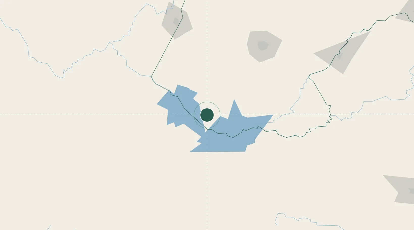
Hub Profile
Region
GT
Location
Nearby Logistics Neighbours
Cities
- 1Amsterdam150 km
- 2Bloemfontein157 km
- 3Bloemfontein Industria158 km
- 4Kayalami162 km
- 5Dan Pienaar163 km
Ports
- 1East London393 km
- 2Port Elizabeth408 km
- 3Mossel Bay522 km
- 4Durban559 km
- 5Richards Bay680 km
Airports
- 1Bram Fischer International Airport167 km
- 2Kimberley Airport174 km
- 3Queenstown Airport236 km
- 4Moshoeshoe I International Airport238 km
- 5Lime Acres Finsch Mine Airport280 km
Trade Zones
- 1Botshabelo Industrial Park183 km
- 2Mafeteng Special Economic Zone195 km
- 3Thetsane Industrial Area236 km
- 4Komani Industrial Park238 km
- 5Somerset East Industrial Park274 km
DatabookThe Record of Consolidated Knowledge
South Africa beyond logistics?