Large airport · South Africa
Bram Fischer International AirportFABL
-29.0927°, 26.3024°
8,396 ft
Longest runway
2
Runways
4,457 ft
Elevation
Runway & Layout

Radio Frequencies
ATIS
126.45 MHz
TWR
120.8 MHz
APP
119.4 MHz
APP WEST
APP
124.3 MHz
APP EAST
Navaids
BL NDB Bloemfontein 380 kHz
BLV VORTAC Bloemfontein 114.10 MHz
Runways · 2
| Runway | Dimensions | Surface | True heading | Lit |
|---|---|---|---|---|
| 02/20 | 8,396 × 151ft | Asphalt | 360° | ✓ |
| 12/30 | 7,202 × 151ft | Asphalt | 102° | ✓ |
Airport Specifications
IATA code
BFN
ICAO code
FABL
Airport class
Large airport
Scheduled service
Yes
Runway surface
Asphalt
Served city
Bloemfontein
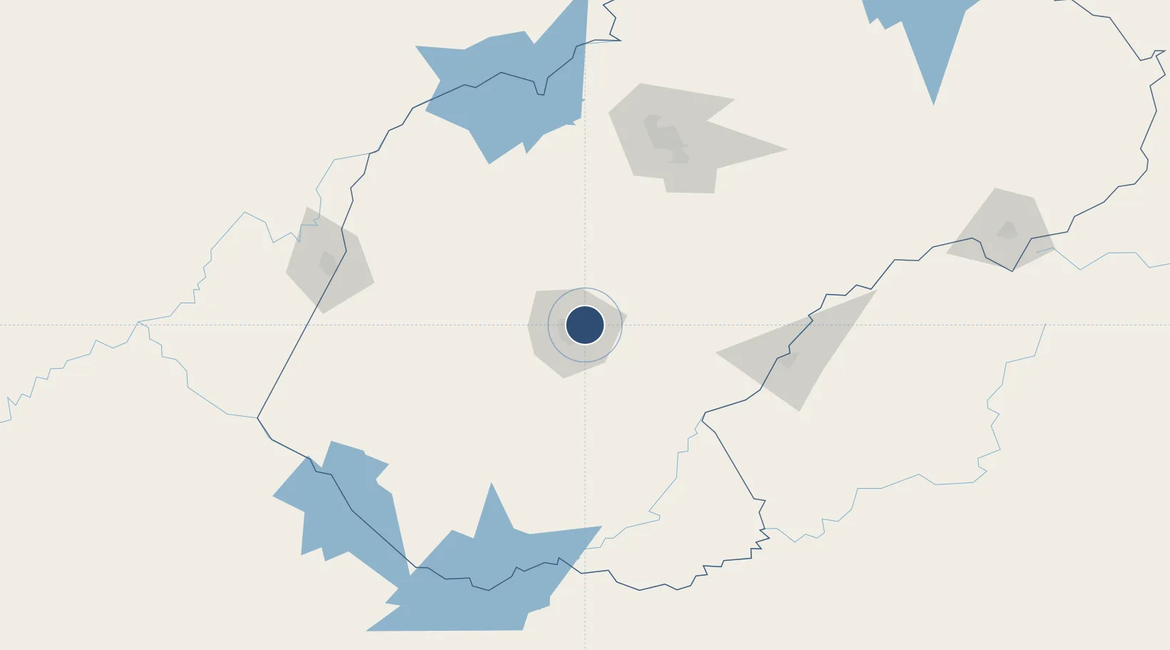
Location
Nearby Logistics Neighbours
Airports
- 1Moshoeshoe I International Airport128 km
- 2Kimberley Airport153 km
- 3Ficksburg Sentraoes Airport159 km
- 4P C Pelser Airport250 km
- 5Potchefstroom Airport280 km
Cities
- 1Dan Pienaar8 km
- 2Bloemfontein11 km
- 3Bloemfontein Industria12 km
- 4Kayalami24 km
- 5Roodekop46 km
Ports
- 1East London464 km
- 2Durban469 km
- 3Port Elizabeth544 km
- 4Richards Bay565 km
- 5Mossel Bay688 km
Trade Zones
DatabookThe Record of Consolidated Knowledge
South Africa beyond logistics?