Transport Functions
Multimodal
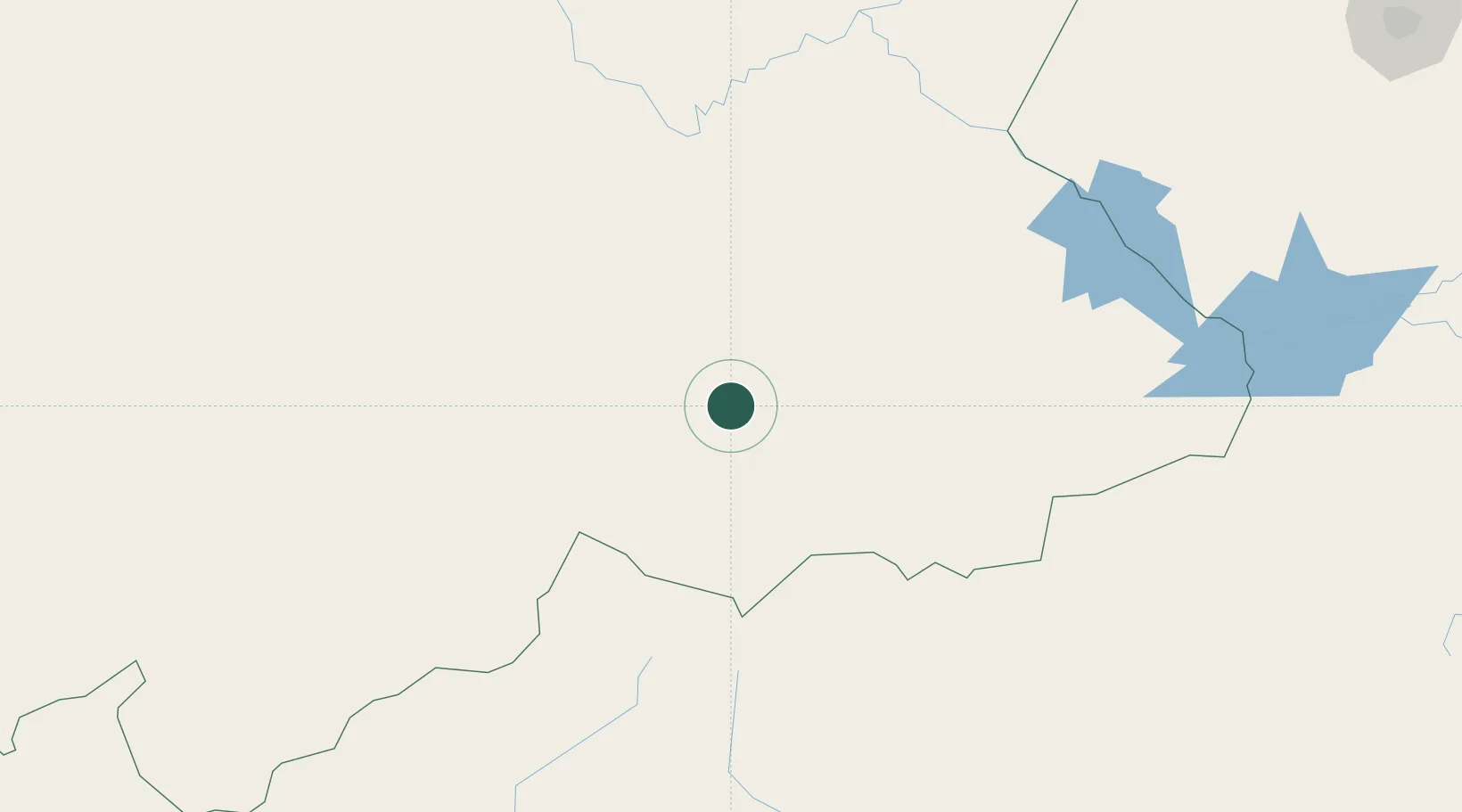
Hub Profile
Place type
Populated place
Region
Northern Cape
Time zone
Africa/Johannesburg
Elevation
1,327 m
Location
Nearby Logistics Neighbours
Cities
- 1Murraysburg130 km
- 2Graaff Reinet204 km
- 3Lerato212 km
- 4Waterkloof Ridge229 km
- 5Pelindaba238 km
Ports
- 1Mossel Bay366 km
- 2Port Elizabeth413 km
- 3East London516 km
- 4Saldanha Bay529 km
- 5Cape Town542 km
Airports
- 1Lime Acres Finsch Mine Airport293 km
- 2Kimberley Airport294 km
- 3Oudtshoorn Airport304 km
- 4Upington Airport332 km
- 5George Airport343 km
Trade Zones
- 1Somerset East Industrial Park314 km
- 2Upington Special Economic Zone330 km
- 3Komani Industrial Park385 km
- 4Coega Industrial Development Zone399 km
- 5Botshabelo Industrial Park405 km
DatabookThe Record of Consolidated Knowledge
South Africa beyond logistics?