Transport Functions
Multimodal
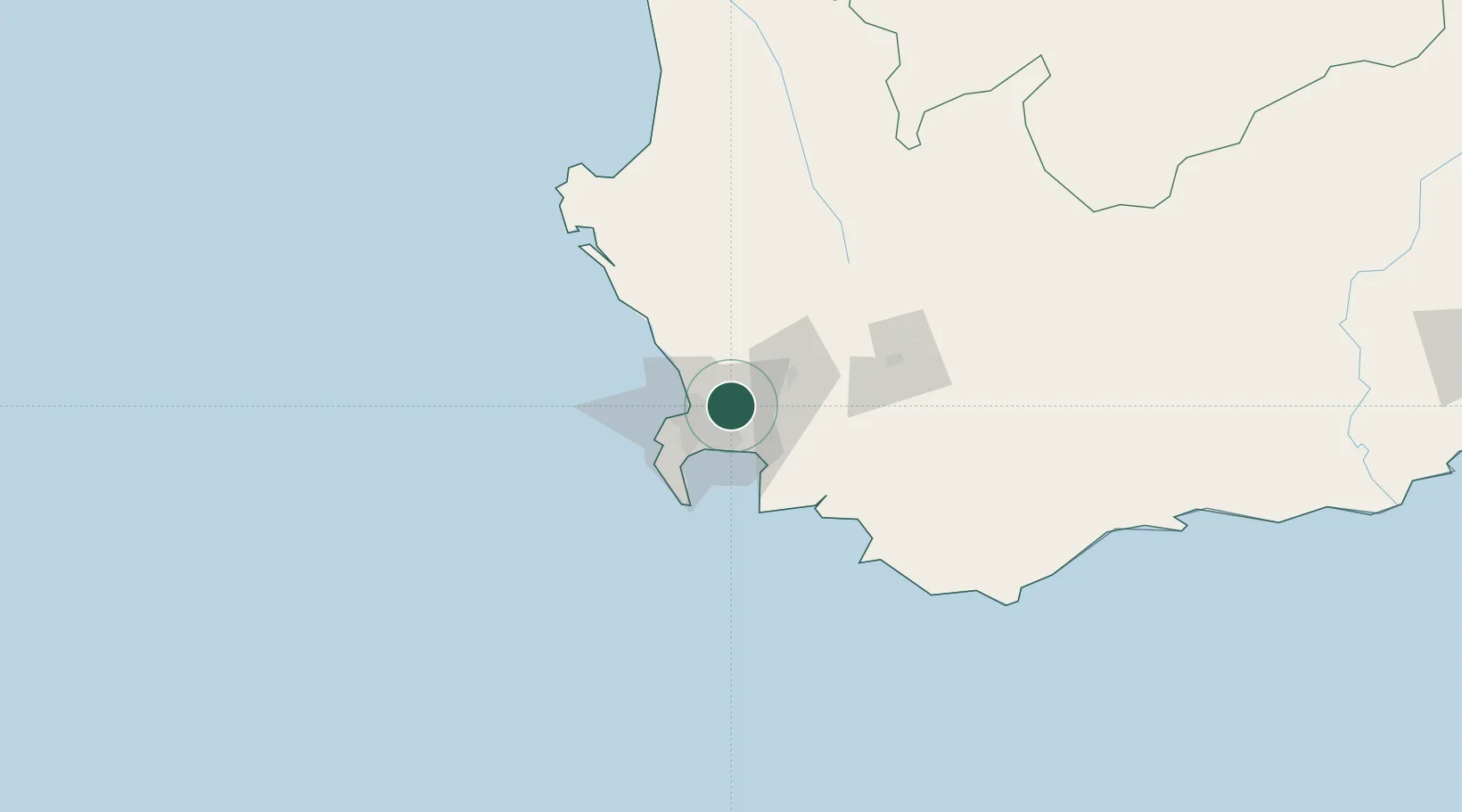
Hub Profile
Place type
Populated place
Region
Western Cape
Time zone
Africa/Johannesburg
Elevation
112 m
Location
Nearby Logistics Neighbours
Cities
- 1Stellenberg3 km
- 2Kraaifontein4 km
- 3Stikland5 km
- 4Welgemoed6 km
- 5Blackheath9 km
Ports
- 1Cape Town25 km
- 2Simonstown42 km
- 3Saldanha Bay114 km
- 4Mossel Bay321 km
- 5Port Elizabeth642 km
Airports
- 1Cape Town International Airport14 km
- 2Ysterplaat Air Force Base18 km
- 3Langebaanweg Airport111 km
- 4Robertson Airport113 km
- 5Saldanha/Vredenburg Airport120 km
Trade Zones
DatabookThe Record of Consolidated Knowledge
South Africa beyond logistics?