UN/LOCODE hub · South Africa
ZAELS
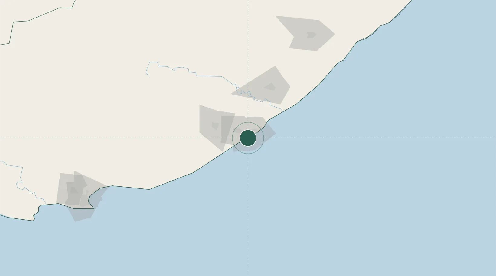
East London
-33.0387°, 27.8695°
478,676
Population
4
Transport functions
1
Container terminals
Transport Functions
Port
Rail
Road
Airport
Hub Profile
Place type
Provincial seat
Region
Eastern Cape
Population
478,676
Time zone
Africa/Johannesburg
Elevation
48 m
Logistics facilities
3
Container terminals
1
Location
Nearby Logistics Neighbours
Cities
- 1Collondale4 km
- 2Chiselhurst8 km
- 3Cambridge8 km
- 4Amalinda8 km
- 5Dawn9 km
Ports
- 1Port Elizabeth230 km
- 2Durban465 km
- 3Mossel Bay545 km
- 4Richards Bay619 km
- 5Cape Town882 km
Airports
- 1King Phalo Airport4 km
- 2Bisho Airport57 km
- 3Queenstown Airport155 km
- 4K. D. Matanzima Airport182 km
- 5Port St Johns Airport222 km
Trade Zones
DatabookThe Record of Consolidated Knowledge
South Africa beyond logistics?