Transport Functions
Multimodal
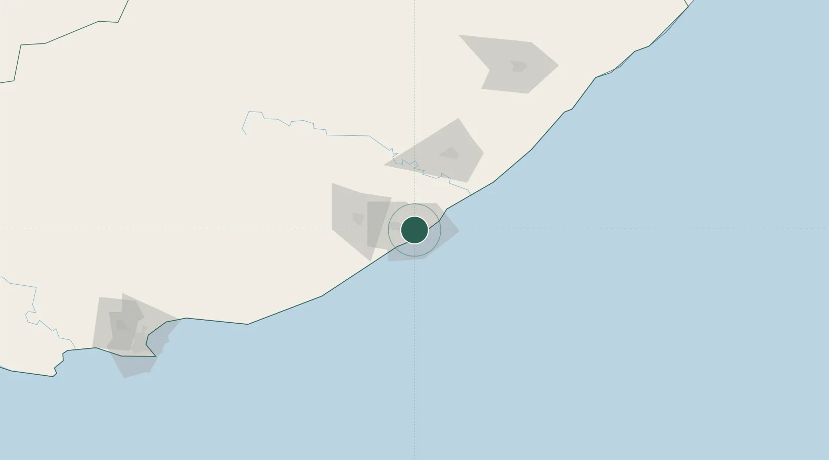
Hub Profile
Place type
Urban district
Region
Eastern Cape
Time zone
Africa/Johannesburg
Elevation
133 m
Location
Nearby Logistics Neighbours
Cities
- 1Chiselhurst2 km
- 2Amalinda3 km
- 3Beacon Bay5 km
- 4Dawn6 km
- 5Collondale7 km
Ports
- 1East London8 km
- 2Port Elizabeth235 km
- 3Durban458 km
- 4Mossel Bay548 km
- 5Richards Bay613 km
Airports
- 1King Phalo Airport9 km
- 2Bisho Airport57 km
- 3Queenstown Airport150 km
- 4K. D. Matanzima Airport175 km
- 5Port St Johns Airport216 km
Trade Zones
DatabookThe Record of Consolidated Knowledge
South Africa beyond logistics?