Transport Functions
Multimodal
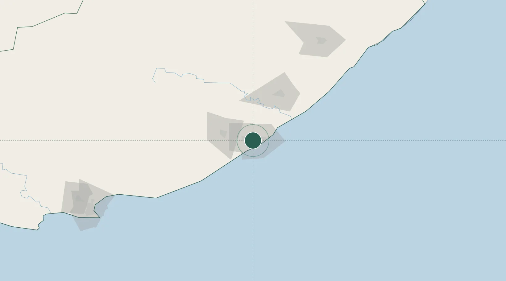
Hub Profile
Place type
Populated place
Region
Eastern Cape
Time zone
Africa/Johannesburg
Elevation
1,632 m
Location
Nearby Logistics Neighbours
Cities
- 1Amalinda3 km
- 2Chiselhurst5 km
- 3Madantsane5 km
- 4Collondale6 km
- 5Cambridge6 km
Ports
- 1East London12 km
- 2Port Elizabeth230 km
- 3Durban463 km
- 4Mossel Bay542 km
- 5Richards Bay617 km
Airports
- 1King Phalo Airport8 km
- 2Bisho Airport51 km
- 3Queenstown Airport146 km
- 4K. D. Matanzima Airport177 km
- 5Port St Johns Airport220 km
Trade Zones
DatabookThe Record of Consolidated Knowledge
South Africa beyond logistics?