Transport Functions
Multimodal
Hub Profile
Region
EC
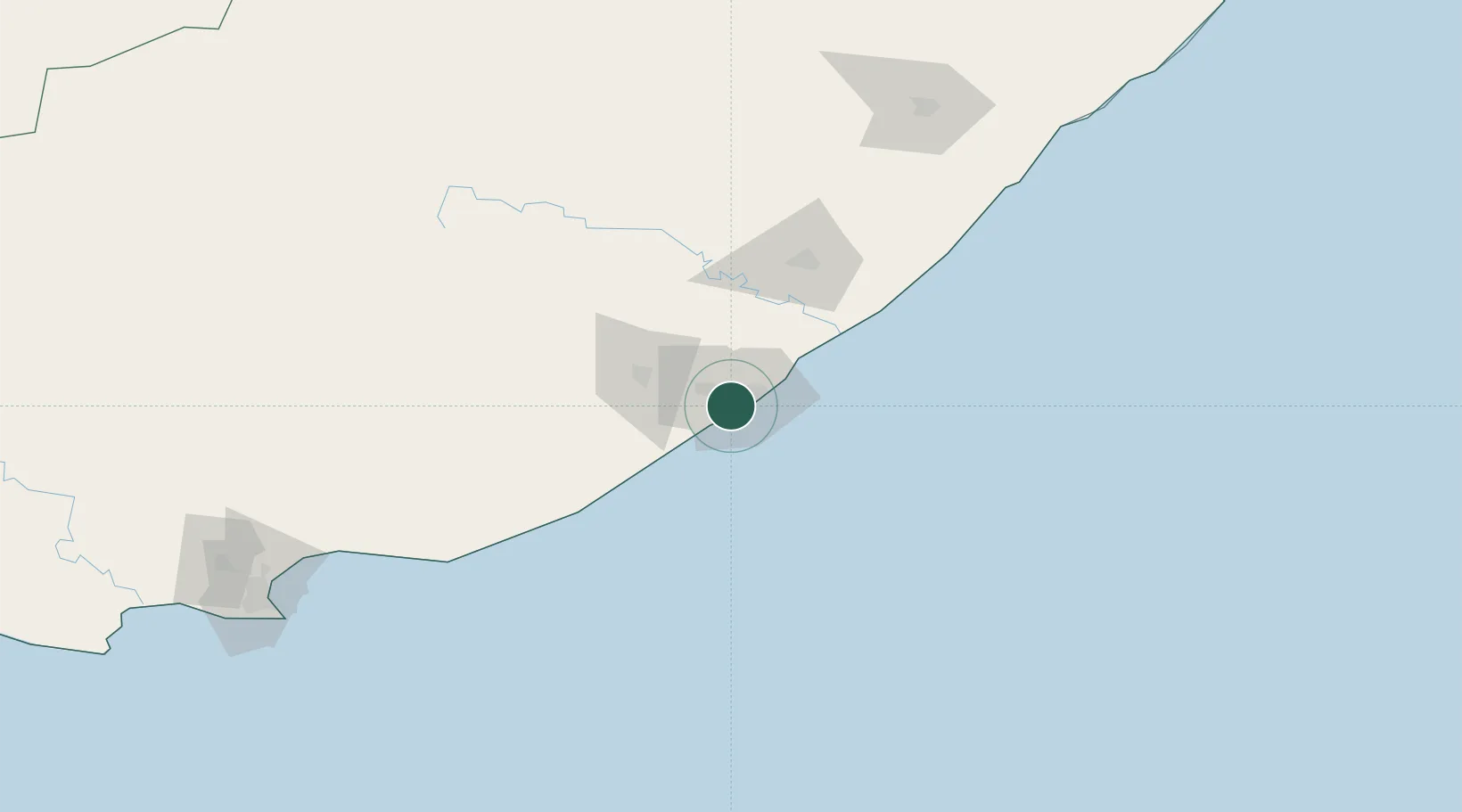
Location
Nearby Logistics Neighbours
Cities
- 1East London4 km
- 2Dawn6 km
- 3Amalinda6 km
- 4Chiselhurst6 km
- 5Cambridge7 km
Ports
- 1East London8 km
- 2Port Elizabeth228 km
- 3Durban466 km
- 4Mossel Bay542 km
- 5Richards Bay620 km
Airports
- 1King Phalo Airport2 km
- 2Bisho Airport53 km
- 3Queenstown Airport151 km
- 4K. D. Matanzima Airport182 km
- 5Port St Johns Airport223 km
Trade Zones
DatabookThe Record of Consolidated Knowledge
South Africa beyond logistics?