Transport Functions
Multimodal
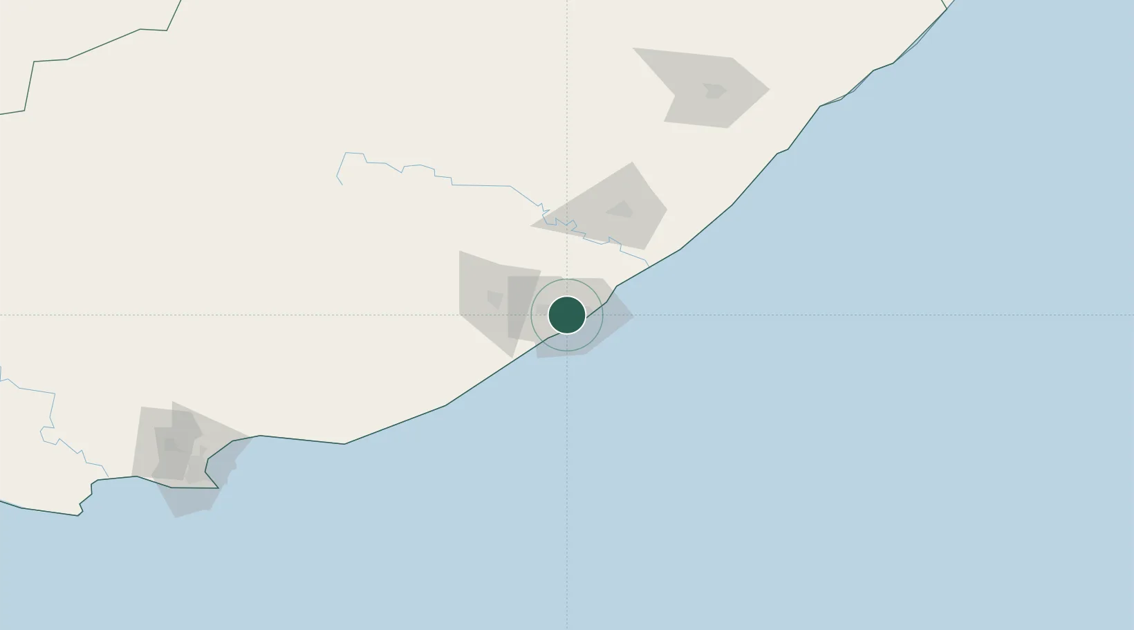
Hub Profile
Place type
Populated place
Region
Eastern Cape
Time zone
Africa/Johannesburg
Elevation
124 m
Location
Nearby Logistics Neighbours
Cities
- 1Chiselhurst2 km
- 2Cambridge3 km
- 3Dawn3 km
- 4Collondale6 km
- 5Beacon Bay8 km
Ports
- 1East London10 km
- 2Port Elizabeth232 km
- 3Durban460 km
- 4Mossel Bay545 km
- 5Richards Bay615 km
Airports
- 1King Phalo Airport8 km
- 2Bisho Airport54 km
- 3Queenstown Airport148 km
- 4K. D. Matanzima Airport176 km
- 5Port St Johns Airport218 km
Trade Zones
DatabookThe Record of Consolidated Knowledge
South Africa beyond logistics?