Transport Functions
Rail
Road
Multimodal
Hub Profile
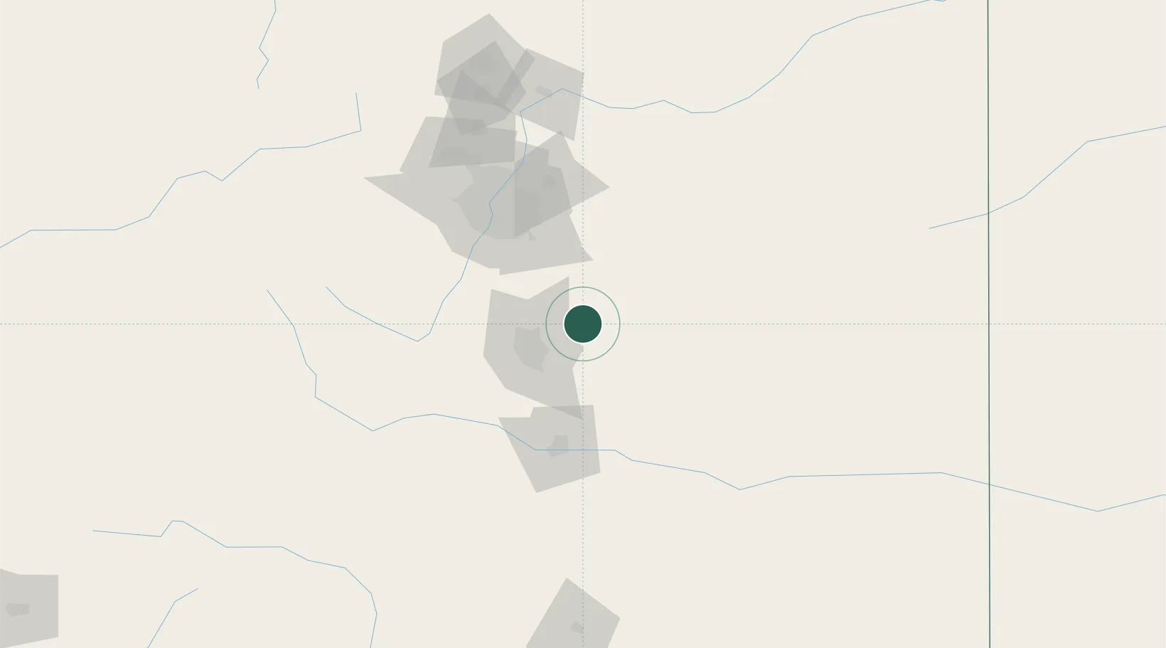
Place type
Populated place
Region
Colorado
Population
250
Time zone
America/Denver
Elevation
2,078 m
Location
Nearby Logistics Neighbours
Cities
- 1Calhan16 km
- 2Elbert23 km
- 3Security35 km
- 4Manitou Springs41 km
- 5Fountain43 km
Airports
Trade Zones
- 1FTZ No. 112 Colorado Springs36 km
- 2FTZ No. 293 Limon74 km
- 3FTZ No. 123 Denver92 km
- 4FTZ No. 298 Jefferson County99 km
- 5FTZ No. 252 Amarillo483 km
DatabookThe Record of Consolidated Knowledge
United States beyond logistics?