UN/LOCODE hub · United States
USUCZ
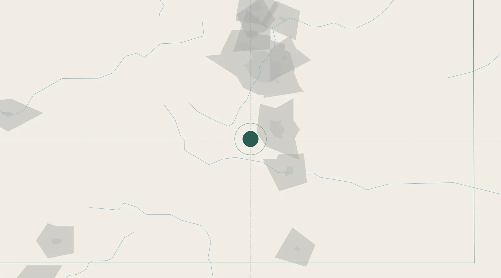
Cripple Creek
38.7333°, -105.1667°
1,155
Population
1
Transport functions
Transport Functions
Multimodal
Hub Profile
Place type
Provincial seat
Region
Colorado
Population
1,155
Time zone
America/Denver
Elevation
2,882 m
Location
Nearby Logistics Neighbours
Cities
- 1Victor3 km
- 2Divide24 km
- 3Manitou Springs26 km
- 4Security38 km
- 5Florence39 km
Ports
- 1San Diego1273 km
- 2Newport Beach1275 km
- 3Ensenada1289 km
- 4Rosarito1289 km
- 5Guaymas1315 km
Airports
Trade Zones
- 1FTZ No. 112 Colorado Springs32 km
- 2FTZ No. 298 Jefferson County112 km
- 3FTZ No. 123 Denver113 km
- 4FTZ No. 293 Limon141 km
- 5FTZ No. 110 Albuquerque432 km
DatabookThe Record of Consolidated Knowledge
United States beyond logistics?