Transport Functions
Road
Multimodal
Hub Profile
Place type
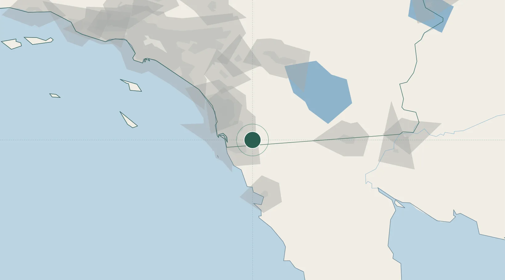
Populated place
Region
California
Time zone
America/Los_Angeles
Elevation
321 m
Location
Nearby Logistics Neighbours
Cities
- 1Tijuana21 km
- 2Spring Valley, San Diego23 km
- 3Bonita24 km
- 4Lemon Grove27 km
- 5Lakeside28 km
Ports
- 1San Diego40 km
- 2Rosarito43 km
- 3Ensenada86 km
- 4Newport Beach152 km
- 5Avalon165 km
Airports
Trade Zones
- 1FTZ No. 153 San Diego28 km
- 2FTZ No. 257 Imperial County115 km
- 3FTZ No. 236 Palm Springs135 km
- 4FTZ No. 244 Riverside County150 km
- 5FTZ No. 050 Long Beach183 km
DatabookThe Record of Consolidated Knowledge
United States beyond logistics?