Transport Functions
Road
Multimodal
Hub Profile
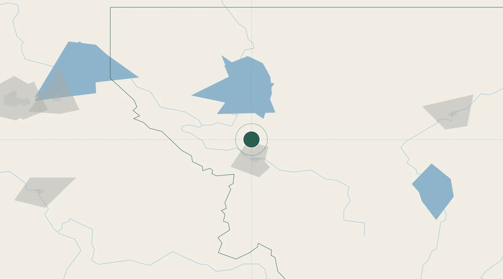
Place type
Populated place
Region
Montana
Population
636
Time zone
America/Denver
Elevation
942 m
Location
Nearby Logistics Neighbours
Cities
- 1Stevensville72 km
- 2Corvallis95 km
- 3Bigfork102 km
- 4Thompson Falls108 km
- 5Columbia Falls135 km
Ports
- 1The Dalles571 km
- 2Everett617 km
- 3Mukilteo623 km
- 4Seattle623 km
- 5Point Wells629 km
Airports
Trade Zones
- 1FTZ No. 274 Butte-Silver Bow165 km
- 2FTZ No. 275 Lansing173 km
- 3FTZ No. 088 Great Falls203 km
- 4FTZ No. 187 Toole County210 km
- 5FTZ No. 224 Spokane262 km
DatabookThe Record of Consolidated Knowledge
United States beyond logistics?