UN/LOCODE hub · United States
USYCV
Corvallis
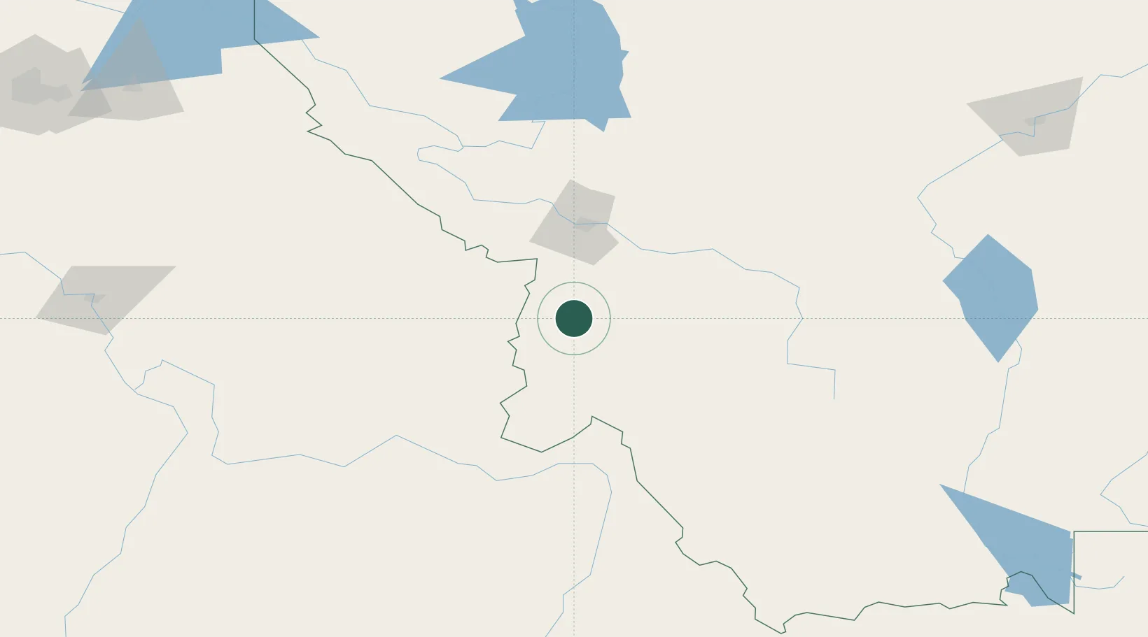
46.3000°, -114.1000°
976
Population
3
Transport functions
Transport Functions
Rail
Road
Multimodal
Hub Profile
Place type
Populated place
Region
Montana
Population
976
Time zone
America/Denver
Elevation
1,061 m
Location
Nearby Logistics Neighbours
Cities
- 1Stevensville22 km
- 2Arlee95 km
- 3Orogrande130 km
- 4Kamiah149 km
- 5Nezperce165 km
Ports
- 1The Dalles553 km
- 2Seattle641 km
- 3Everett642 km
- 4Tacoma642 km
- 5Washougal643 km
Airports
- 1Missoula Montana Airport69 km
- 2Bert Mooney Airport129 km
- 3Lemhi County Airport132 km
- 4McCall Municipal Airport221 km
- 5Glacier Park International Airport224 km
Trade Zones
- 1FTZ No. 274 Butte-Silver Bow101 km
- 2FTZ No. 275 Lansing124 km
- 3FTZ No. 088 Great Falls242 km
- 4FTZ No. 187 Toole County290 km
- 5FTZ No. 224 Spokane299 km
DatabookThe Record of Consolidated Knowledge
United States beyond logistics?