Medium airport · United States
Cut Bank International AirportKCTB
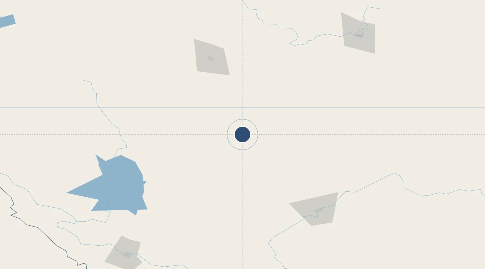
48.6087°, -112.3782°
5,300 ft
Longest runway
2
Runways
3,854 ft
Elevation
Runway & Layout

Radio Frequencies
ASOS
119.025 MHz
ARTC
133.4 MHz
SALT LAKE CITY CNTR
RDO
122.2 MHz
GREAT FALLS RDO
UNIC
122.8 MHz
CTAF/UNICOM
Navaids
CTB VORTAC Cut Bank 114.40 MHz
Runways · 2
| Runway | Dimensions | Surface | True heading | Lit |
|---|---|---|---|---|
| 05/23 | 5,300 × 75ft | Asphalt | 064° | ✓ |
| 14/32 | 5,300 × 75ft | Asphalt | 152° | ✓ |
Airport Specifications
IATA code
CTB
ICAO code
KCTB
Airport class
Medium airport
Scheduled service
No
Runway surface
Asphalt
Served city
Cut Bank
Location
Nearby Logistics Neighbours
Airports
- 1Lethbridge County Airport118 km
- 2Glacier Park International Airport142 km
- 3Great Falls International Airport146 km
- 4Pincher Creek Airport156 km
- 5Havre City County Airport193 km
Cities
- 1Glen31 km
- 2Coutts54 km
- 3Warner76 km
- 4New Dayton92 km
- 5Glenwood118 km
Ports
- 1Mission City725 km
- 2Everett730 km
- 3Mukilteo737 km
- 4Bellingham743 km
- 5The Dalles745 km
Trade Zones
- 1FTZ No. 187 Toole County6 km
- 2FTZ No. 088 Great Falls141 km
- 3FTZ No. 275 Lansing289 km
- 4Calgary Region Inland Port297 km
- 5FTZ No. 274 Butte-Silver Bow303 km
DatabookThe Record of Consolidated Knowledge
United States beyond logistics?