Foreign Trade Zone · United States

FTZ No. 224 Spokane Active

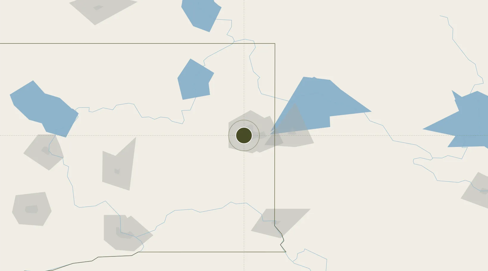
47.6728°, -117.4822°
355.2 km
Nearest port
7.0 km
Nearest airport

Gateway access

Nearest neighbours — logibook spatial index (haversine) over the source coordinates

Zone profile

Zone type
Foreign Trade Zone
Open Zone Map
Region
Washington
Open Zone Map
Status
Active
Open Zone Map
Management
Public-Private Partnership
Open Zone Map
Operator
Spokane Airport Board
Open Zone Map
Legal framework
Foreign-Trade Zones Act
Open Zone Map

Location

Location of ozm-4945
Natural Earth 10m (public domain) · Washington · ozm-4945 · 47.67, -117.48GoogleOSMYandex

Nearby Logistics Neighbours

Ports
  1. 1Everett355 km
  2. 2Mukilteo361 km
  3. 3Seattle364 km
  4. 4The Dalles365 km
  5. 5Point Wells368 km
Nearest neighbours — logibook spatial index (haversine) over the source coordinates
Airports
  1. 1Spokane International Airport7 km
  2. 2Felts Field12 km
  3. 3Fairchild Air Force Base15 km
  4. 4Coeur D'Alene Airport - Pappy Boyington Field51 km
  5. 5Pullman-Moscow Regional Airport107 km
Nearest neighbours — logibook spatial index (haversine) over the source coordinates
Cities
  1. 1Airway Heights8 km
  2. 2Fairchild Air Force Base12 km
  3. 3Cheney24 km
  4. 4Mica24 km
  5. 5Greenacres25 km
Nearest neighbours — logibook spatial index (haversine) over the source coordinates
Trade Zones
  1. 1FTZ No. 242 Boundary County129 km
  2. 2FTZ No. 203 Moses Lake152 km
  3. 3FTZ No. 085 Everett355 km
  4. 4FTZ No. 086 Tacoma373 km
  5. 5FTZ No. 005 Seattle375 km
Nearest neighbours — logibook spatial index (haversine) over the source coordinates
DatabookThe Record of Consolidated Knowledge
United States beyond logistics?
Browse databook

All Sources

Trade ZonesOpen Zone Map
CC BY
Portsthe NGA World Port Index
Public domain (US gov)
AirportsOurAirports
Public domain
LocationsUN/LOCODE
UN/LOCODE — free
← United States trade zones