Foreign Trade Zone · United States
FTZ No. 275 Lansing Active
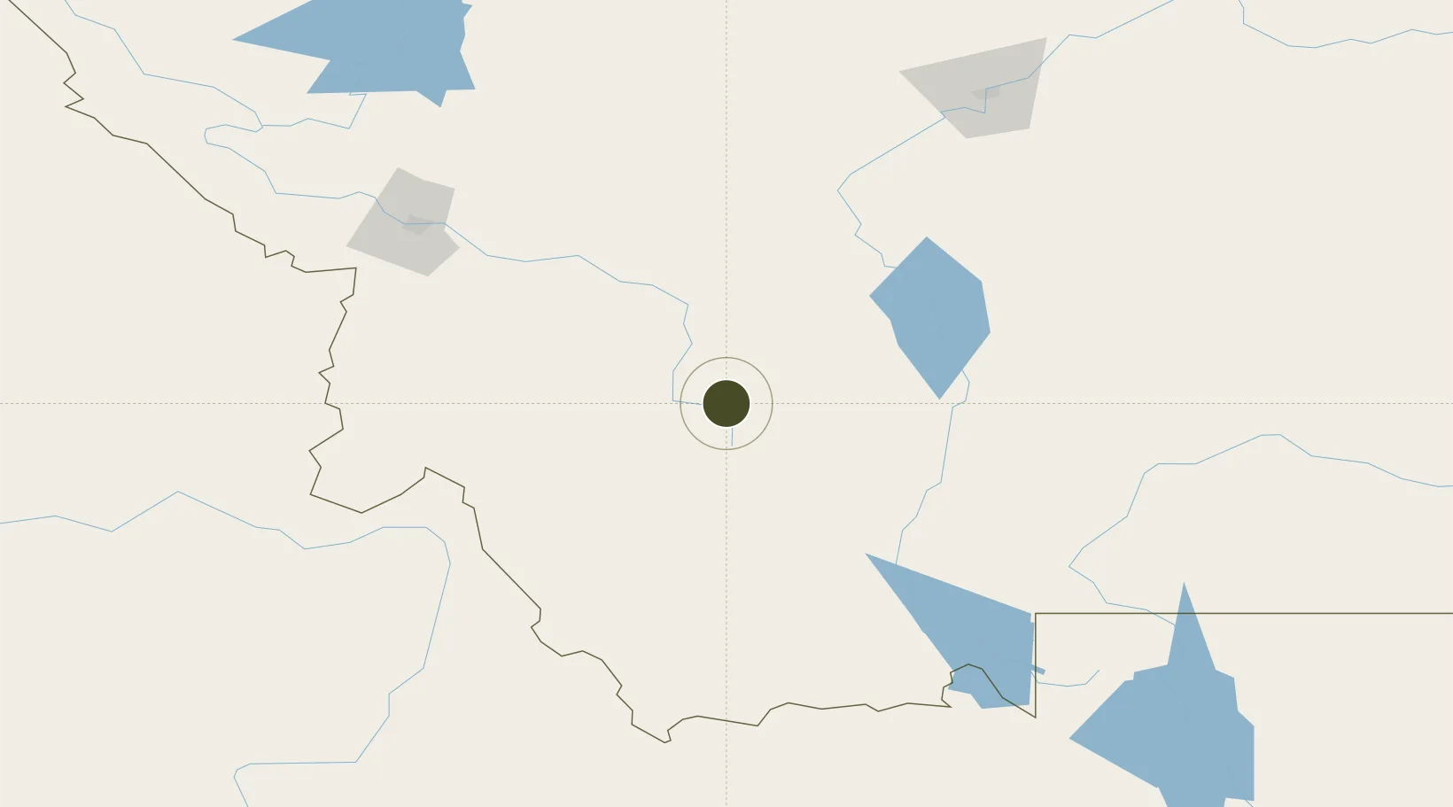
46.0113°, -112.5404°
671.2 km
Nearest port
7.1 km
Nearest airport
Gateway access
Zone profile
Zone type
Foreign Trade Zone
Region
Montana
Status
Active
Management
Public
Operator
Capital Region Airport Authority
Legal framework
Foreign-Trade Zones Act
Location
Nearby Logistics Neighbours
Ports
- 1The Dalles671 km
- 2Washougal762 km
- 3Camas765 km
- 4Seattle765 km
- 5Everett766 km
Airports
- 1Bert Mooney Airport7 km
- 2Helena Regional Airport79 km
- 3Bozeman Yellowstone International Airport110 km
- 4Lemhi County Airport144 km
- 5Missoula Montana Airport156 km
Cities
- 1Clancy66 km
- 2Montana City75 km
- 3Three Forks Junction75 km
- 4Belgrade110 km
- 5Gallatin Gateway112 km
Trade Zones
- 1FTZ No. 274 Butte-Silver Bow32 km
- 2FTZ No. 088 Great Falls186 km
- 3FTZ No. 187 Toole County289 km
- 4FTZ No. 224 Spokane419 km
- 5FTZ No. 242 Boundary County443 km
DatabookThe Record of Consolidated Knowledge
United States beyond logistics?