Foreign Trade Zone · United States

FTZ No. 187 Toole County Inactive

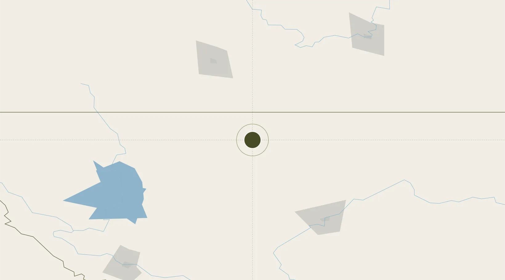
48.6077°, -112.2923°
730.8 km
Nearest port
6.3 km
Nearest airport

Gateway access

Nearest neighbours — logibook spatial index (haversine) over the source coordinates

Zone profile

Zone type
Foreign Trade Zone
Open Zone Map
Region
Montana
Open Zone Map
Status
Inactive
Open Zone Map
Management
Public-Private Partnership
Open Zone Map
Operator
Northern Express Transportation, Inc.
Open Zone Map
Legal framework
Foreign-Trade Zones Act
Open Zone Map

Location

Location of ozm-4972
Natural Earth 10m (public domain) · Montana · ozm-4972 · 48.61, -112.29GoogleOSMYandex

Nearby Logistics Neighbours

Ports
  1. 1Mission City731 km
  2. 2Everett737 km
  3. 3Mukilteo744 km
  4. 4Bellingham749 km
  5. 5The Dalles751 km
Nearest neighbours — logibook spatial index (haversine) over the source coordinates
Airports
  1. 1Cut Bank International Airport6 km
  2. 2Lethbridge County Airport120 km
  3. 3Great Falls International Airport143 km
  4. 4Glacier Park International Airport149 km
  5. 5Pincher Creek Airport160 km
Nearest neighbours — logibook spatial index (haversine) over the source coordinates
Cities
  1. 1Glen36 km
  2. 2Coutts50 km
  3. 3Warner75 km
  4. 4New Dayton92 km
  5. 5Glenwood123 km
Nearest neighbours — logibook spatial index (haversine) over the source coordinates
Trade Zones
  1. 1FTZ No. 088 Great Falls138 km
  2. 2FTZ No. 275 Lansing289 km
  3. 3Calgary Region Inland Port300 km
  4. 4FTZ No. 274 Butte-Silver Bow304 km
  5. 5FTZ No. 242 Boundary County333 km
Nearest neighbours — logibook spatial index (haversine) over the source coordinates
DatabookThe Record of Consolidated Knowledge
United States beyond logistics?
Browse databook

All Sources

Trade ZonesOpen Zone Map
CC BY
Portsthe NGA World Port Index
Public domain (US gov)
AirportsOurAirports
Public domain
LocationsUN/LOCODE
UN/LOCODE — free
← United States trade zones