UN/LOCODE hub · United States
USBF4
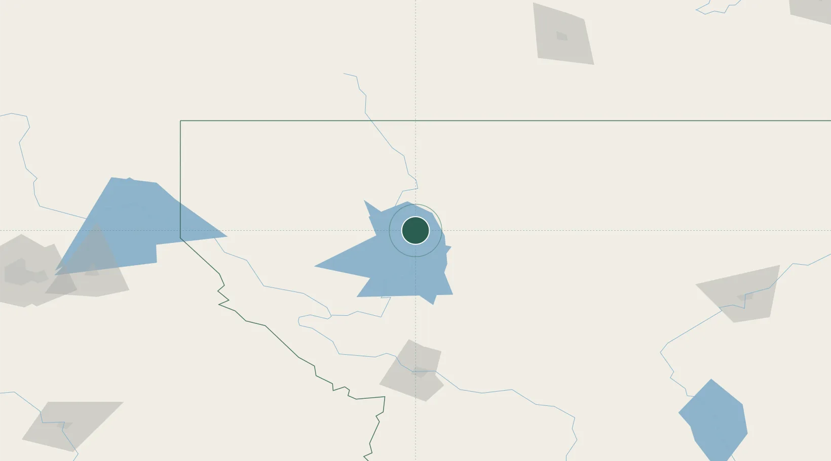
Bigfork
48.0667°, -114.0667°
4,270
Population
2
Transport functions
Transport Functions
Road
Multimodal
Hub Profile
Place type
Populated place
Region
Montana
Population
4,270
Time zone
America/Denver
Elevation
908 m
Location
Nearby Logistics Neighbours
Cities
- 1Columbia Falls34 km
- 2Arlee102 km
- 3Thompson Falls109 km
- 4Glen110 km
- 5Rexford123 km
Ports
- 1Everett606 km
- 2The Dalles607 km
- 3Mukilteo612 km
- 4Mission City614 km
- 5Seattle619 km
Airports
- 1Glacier Park International Airport31 km
- 2Missoula Montana Airport128 km
- 3Cut Bank International Airport139 km
- 4Pincher Creek Airport162 km
- 5Lethbridge County Airport197 km
Trade Zones
- 1FTZ No. 187 Toole County144 km
- 2FTZ No. 088 Great Falls206 km
- 3FTZ No. 242 Boundary County217 km
- 4FTZ No. 274 Butte-Silver Bow256 km
- 5FTZ No. 275 Lansing256 km
DatabookThe Record of Consolidated Knowledge
United States beyond logistics?