Seaport · United States
EverettUSPAE
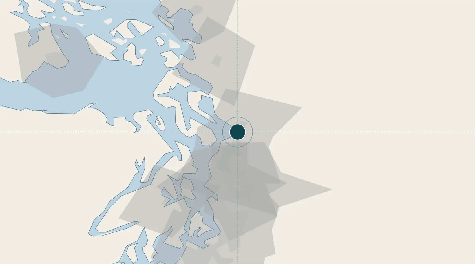
48.0000°, -122.2167°
6.4 m
Channel depth
24.7
Port liner connectivity
Channel & Berth Profile
Pilotage, Tugs & Services
Pilotage compulsoryYES
Pilotage advisableYES
Tug assistanceYES
Shore powerYES
Potable waterYES
Diesel bunkersYES
MedicalYES
Garbage disposalYES
Facilities & Capabilities
Container—
Ro-Ro—
Liquid bulk—
Dry bulk—
Oil terminal—
Break bulk—
Dry dock—
RepairsNO
BunkeringYES
Rail linkYES
Dangerous cargo—
ISPS security—
Harbour Specifications
Harbour size
Small
Harbour type
Coastal (Natural)
Shelter
Excellent
Water body
Alaska-Canada coastal waters; North Pacific Ocean
Tidal range
2.1 m
Overhead limit
Yes
Pilotage
Yes
Liner Connectivity
24.7
PLSCI
Port Liner Shipping Connectivity Index for Everett, as published by UNCTAD for the latest available quarter. Higher values indicate stronger scheduled liner-shipping integration.
Shown relative to the highest per-port PLSCI in the dataset (1,657.9).
Location
Nearby Logistics Neighbours
Ports
- 1Mukilteo8 km
- 2Point Wells28 km
- 3Port Gamble32 km
- 4Port Townsend42 km
- 5Coupeville43 km
Cities
- 1Mukilteo8 km
- 2Tulalip9 km
- 3Lake Stevens11 km
- 4Lakewood17 km
- 5Mill Creek17 km
Airports
Trade Zones
- 1FTZ No. 085 Everett0 km
- 2FTZ No. 005 Seattle47 km
- 3FTZ No. 086 Tacoma83 km
- 4FTZ No. 212 Tacoma87 km
- 5FTZ No. 129 Bellingham87 km
DatabookThe Record of Consolidated Knowledge
United States beyond logistics?