UN/LOCODE hub · United States
USYCU
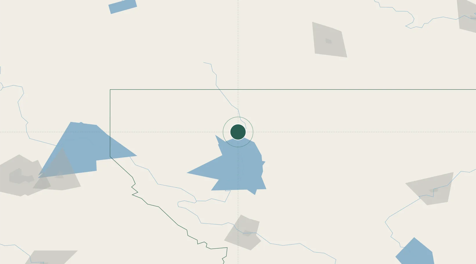
Columbia Falls
48.3667°, -114.1667°
5,093
Population
3
Transport functions
Transport Functions
Port
Rail
Road
Hub Profile
Place type
Populated place
Region
Montana
Population
5,093
Time zone
America/Denver
Elevation
941 m
Location
Nearby Logistics Neighbours
Ports
- 1Everett598 km
- 2Mission City599 km
- 3Mukilteo605 km
- 4Seattle614 km
- 5The Dalles614 km
Airports
Trade Zones
- 1FTZ No. 187 Toole County141 km
- 2FTZ No. 242 Boundary County200 km
- 3FTZ No. 088 Great Falls224 km
- 4FTZ No. 224 Spokane258 km
- 5FTZ No. 275 Lansing289 km
DatabookThe Record of Consolidated Knowledge
United States beyond logistics?