Seaport · United States
SeattleUSSEA
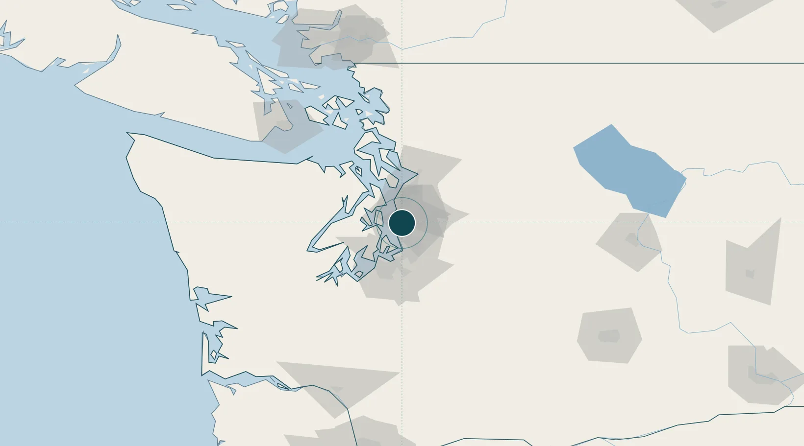
47.6000°, -122.3333°
9.4 m
Channel depth
3
Container terminals
155.1
Port liner connectivity
Channel & Berth Profile
Pilotage, Tugs & Services
Pilotage compulsoryYES
Pilotage availableYES
Pilotage advisableYES
Tug assistanceYES
Shore powerYES
Potable waterYES
Diesel bunkersYES
MedicalYES
Garbage disposalYES
Facilities & Capabilities
Container—
Ro-Ro—
Liquid bulk—
Dry bulk—
Oil terminal—
Break bulk—
Dry dockNO
RepairsNO
BunkeringYES
Rail linkYES
Dangerous cargo—
ISPS security—
Harbour Specifications
Harbour size
Large
Harbour type
Coastal (Natural)
Shelter
Excellent
Water body
Alaska-Canada coastal waters; North Pacific Ocean
Tidal range
2.4 m
Overhead limit
Yes
Pilotage
Yes
Liner Connectivity
155.1
PLSCI
Port Liner Shipping Connectivity Index for Seattle, as published by UNCTAD for the latest available quarter. Higher values indicate stronger scheduled liner-shipping integration.
Shown relative to the highest per-port PLSCI in the dataset (1,657.9).
Location
Container Terminals · 3
SSA TERMINAL T18
SSA18 SSA TERMINALS (SEATTLE TERMINALS), LLC (SSAT/ST)
SSA TERMINAL T30
SSA30 SSA TERMINALS (SEATTLE), LLC (SSAT)
SSA TERMINAL T5
SSA5 SSA TERMINALS (SEATTLE TERMINALS), LLC (SSAT/ST)
Nearby Logistics Neighbours
Ports
- 1Point Wells21 km
- 2Port Orchard24 km
- 3Keyport24 km
- 4Bremerton24 km
- 5Poulsbo28 km
Cities
- 1Madison Park6 km
- 2Boeing Field Apt11 km
- 3Port Blakely13 km
- 4Bainbridge Island13 km
- 5Burien15 km
Airports
Trade Zones
- 1FTZ No. 005 Seattle11 km
- 2FTZ No. 086 Tacoma38 km
- 3FTZ No. 212 Tacoma42 km
- 4FTZ No. 085 Everett46 km
- 5FTZ No. 216 Olympia77 km
DatabookThe Record of Consolidated Knowledge
United States beyond logistics?