Channel & Berth Profile
Pilotage, Tugs & Services
Pilotage availableYES
Potable waterYES
Diesel bunkersYES
Facilities & Capabilities
Container—
Ro-Ro—
Liquid bulk—
Dry bulk—
Oil terminal—
Break bulk—
Dry dock—
Repairs—
BunkeringYES
Rail link—
Dangerous cargo—
ISPS security—
Harbour Specifications
Harbour size
Very Small
Harbour type
River (Natural)
Shelter
Excellent
Water body
Alaska-Canada coastal waters; North Pacific Ocean
Overhead limit
Yes
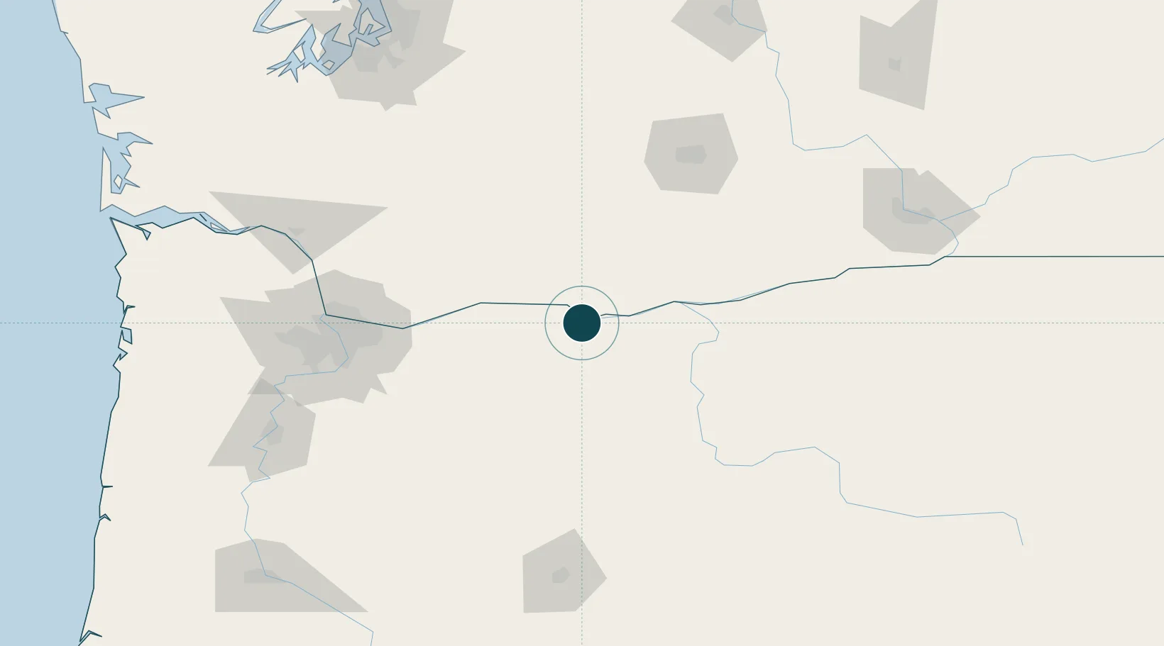
Location
Nearby Logistics Neighbours
Cities
- 1Lyle12 km
- 2Mosier18 km
- 3Goldendale37 km
- 4Brightwood69 km
- 5Roosevelt78 km
Airports
Trade Zones
- 1FTZ No. 296 Vancouver117 km
- 2FTZ No. 045 Portland126 km
- 3FTZ No. 120 Cowlitz County153 km
- 4FTZ No. 255 Washington County172 km
- 5FTZ No. 086 Tacoma208 km
DatabookThe Record of Consolidated Knowledge
United States beyond logistics?