Seaport · United States

MukilteoUSMKI

47.9500°, -122.3000°
11.0 m
Channel depth
Mukilteo is also a UN/LOCODE logistics hub →

Channel & Berth Profile

SEA LEVEL (CD)CHANNEL BEDChannel · 11.0 mAnchorage · 11.0 mCargo pier · 11.0 m
NGA World Port Index

Pilotage, Tugs & Services

Pilotage compulsoryYES
Pilotage advisableYES
Shore powerYES
Potable waterYES
Diesel bunkersYES
MedicalYES
Garbage disposalYES
NGA World Port Index

Facilities & Capabilities

Container
Ro-Ro
Liquid bulk
Dry bulk
Oil terminal
Break bulk
Dry dock
RepairsNO
BunkeringYES
Rail linkYES
Dangerous cargo
ISPS security
NGA World Port Index

Harbour Specifications

Harbour size
Very Small
NGA World Port Index
Harbour type
Coastal (Natural)
NGA World Port Index
Shelter
Excellent
NGA World Port Index
Water body
Alaska-Canada coastal waters; North Pacific Ocean
NGA World Port Index
Tidal range
2.1 m
NGA World Port Index
Pilotage
Yes
NGA World Port Index

Location

Location of USMKI
Natural Earth 10m (public domain) · Washington · USMKI · 47.95, -122.30GoogleOSMYandex

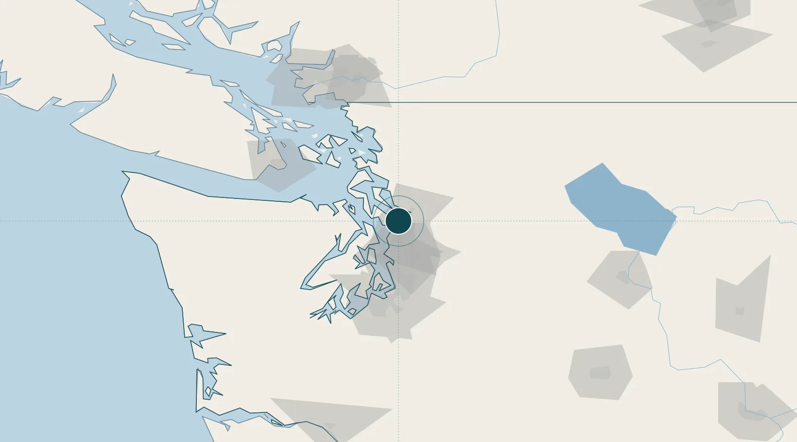
Nearby Logistics Neighbours

Ports
  1. 1Everett8 km
  2. 2Point Wells20 km
  3. 3Port Gamble24 km
  4. 4Poulsbo36 km
  5. 5Keyport37 km
Nearest neighbours — logibook spatial index (haversine) over the source coordinates
Cities
  1. 1Everett5 km
  2. 2Tulalip13 km
  3. 3Mill Creek13 km
  4. 4Lynnwood15 km
  5. 5Puget Sound18 km
Nearest neighbours — logibook spatial index (haversine) over the source coordinates
Trade Zones
  1. 1FTZ No. 085 Everett8 km
  2. 2FTZ No. 005 Seattle40 km
  3. 3FTZ No. 086 Tacoma77 km
  4. 4FTZ No. 212 Tacoma80 km
  5. 5FTZ No. 129 Bellingham91 km
Nearest neighbours — logibook spatial index (haversine) over the source coordinates
DatabookThe Record of Consolidated Knowledge
United States beyond logistics?
Browse databook

All Sources

Portsthe NGA World Port Index
Public domain (US gov)
AirportsOurAirports
Public domain
LocationsUN/LOCODE
UN/LOCODE — free
Trade Zonesthe World Bank SEZ database
CC BY 4.0
Trade ZonesOpen Zone Map
CC BY
← United States ports