UN/LOCODE hub · United States
USTES
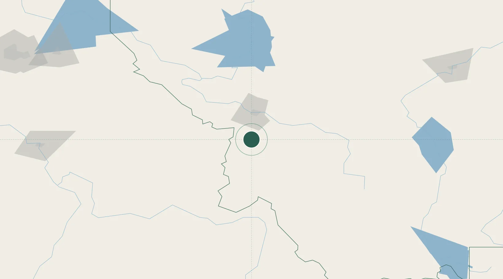
Stevensville
46.5000°, -114.0833°
1,922
Population
2
Transport functions
Transport Functions
Rail
Road
Hub Profile
Place type
Populated place
Region
Montana
Population
1,922
Time zone
America/Denver
Elevation
1,013 m
Location
Nearby Logistics Neighbours
Cities
- 1Corvallis22 km
- 2Arlee72 km
- 3Orogrande144 km
- 4Kamiah153 km
- 5Thompson Falls156 km
Ports
- 1The Dalles557 km
- 2Everett636 km
- 3Seattle637 km
- 4Tacoma639 km
- 5Mukilteo641 km
Airports
- 1Missoula Montana Airport46 km
- 2Bert Mooney Airport136 km
- 3Lemhi County Airport154 km
- 4Glacier Park International Airport202 km
- 5Lewiston Nez Perce County Airport225 km
Trade Zones
- 1FTZ No. 274 Butte-Silver Bow112 km
- 2FTZ No. 275 Lansing131 km
- 3FTZ No. 088 Great Falls229 km
- 4FTZ No. 187 Toole County270 km
- 5FTZ No. 224 Spokane289 km
DatabookThe Record of Consolidated Knowledge
United States beyond logistics?