Medium airport · United States
Bert Mooney AirportKBTM
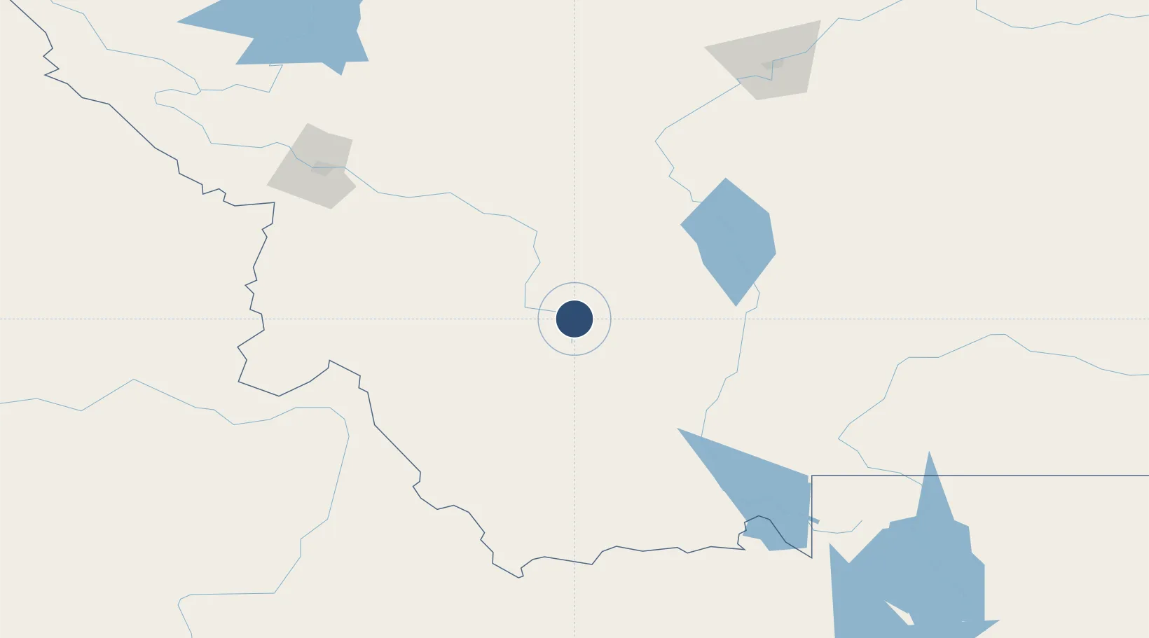
45.9548°, -112.4970°
9,000 ft
Longest runway
2
Runways
5,550 ft
Elevation
Runway & Layout

Radio Frequencies
ASOS
135.175 MHz
CNTR
132.4 MHz
SALT LAKE CITY CNTR
RDO
122.2 MHz
GREAT FALLS RDO
UNIC
123 MHz
CTAF/UNICOM
Navaids
CPN VOR-DME Coppertown 111.60 MHz
HIA VORTAC Whitehall 113.70 MHz
Runways · 2
| Runway | Dimensions | Surface | True heading | Lit |
|---|---|---|---|---|
| 15/33 | 9,000 × 150ft | Asphalt | 167° | ✓ |
| 12/30 | 5,100 × 75ft | Asphalt | 129° | ✓ |
Airport Specifications
IATA code
BTM
ICAO code
KBTM
Airport class
Medium airport
Scheduled service
Yes
Runway surface
Asphalt
Served city
Butte
Location
Nearby Logistics Neighbours
Airports
- 1Helena Regional Airport83 km
- 2Bozeman Yellowstone International Airport106 km
- 3Lemhi County Airport142 km
- 4Mission Field161 km
- 5Missoula Montana Airport162 km
Cities
- 1Clancy69 km
- 2Three Forks Junction71 km
- 3Montana City78 km
- 4Belgrade105 km
- 5Gallatin Gateway107 km
Ports
- 1The Dalles675 km
- 2Washougal765 km
- 3Camas769 km
- 4Seattle771 km
- 5Everett771 km
Trade Zones
- 1FTZ No. 275 Lansing7 km
- 2FTZ No. 274 Butte-Silver Bow33 km
- 3FTZ No. 088 Great Falls190 km
- 4FTZ No. 187 Toole County295 km
- 5FTZ No. 224 Spokane425 km
DatabookThe Record of Consolidated Knowledge
United States beyond logistics?