UN/LOCODE hub · United States
USTHF
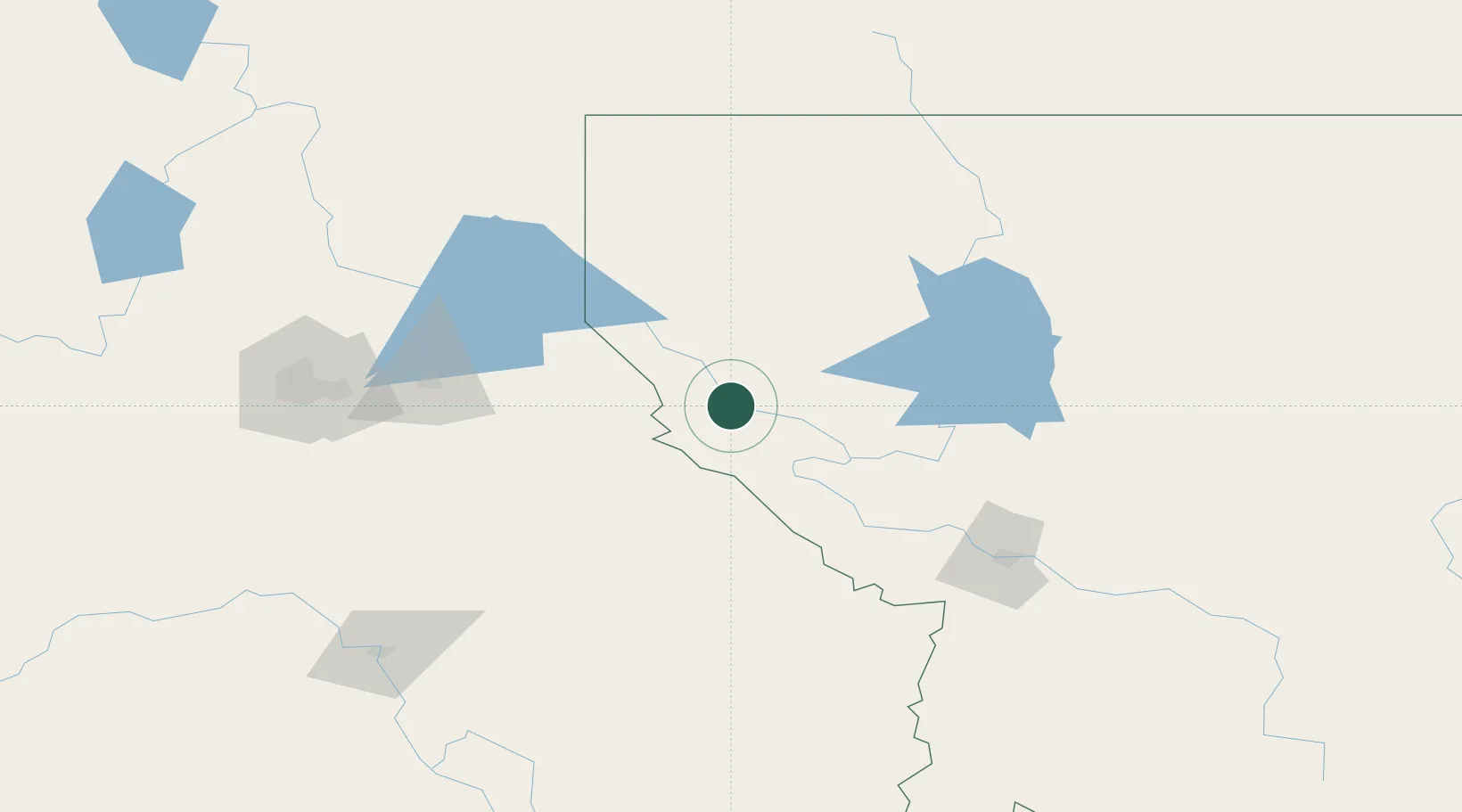
Thompson Falls
47.6000°, -115.3500°
1,332
Population
4
Transport functions
Transport Functions
Port
Rail
Road
Multimodal
Hub Profile
Place type
Provincial seat
Region
Montana
Population
1,332
Time zone
America/Denver
Elevation
779 m
Location
Nearby Logistics Neighbours
Cities
- 1Wallace45 km
- 2Smelterville62 km
- 3Heron67 km
- 4Troy103 km
- 5Dalton Gardens107 km
Ports
- 1The Dalles498 km
- 2Everett515 km
- 3Mukilteo521 km
- 4Seattle523 km
- 5Point Wells528 km
Airports
Trade Zones
- 1FTZ No. 224 Spokane160 km
- 2FTZ No. 242 Boundary County168 km
- 3FTZ No. 187 Toole County253 km
- 4FTZ No. 274 Butte-Silver Bow264 km
- 5FTZ No. 275 Lansing277 km
DatabookThe Record of Consolidated Knowledge
United States beyond logistics?