Medium airport · United States
Missoula Montana AirportKMSO
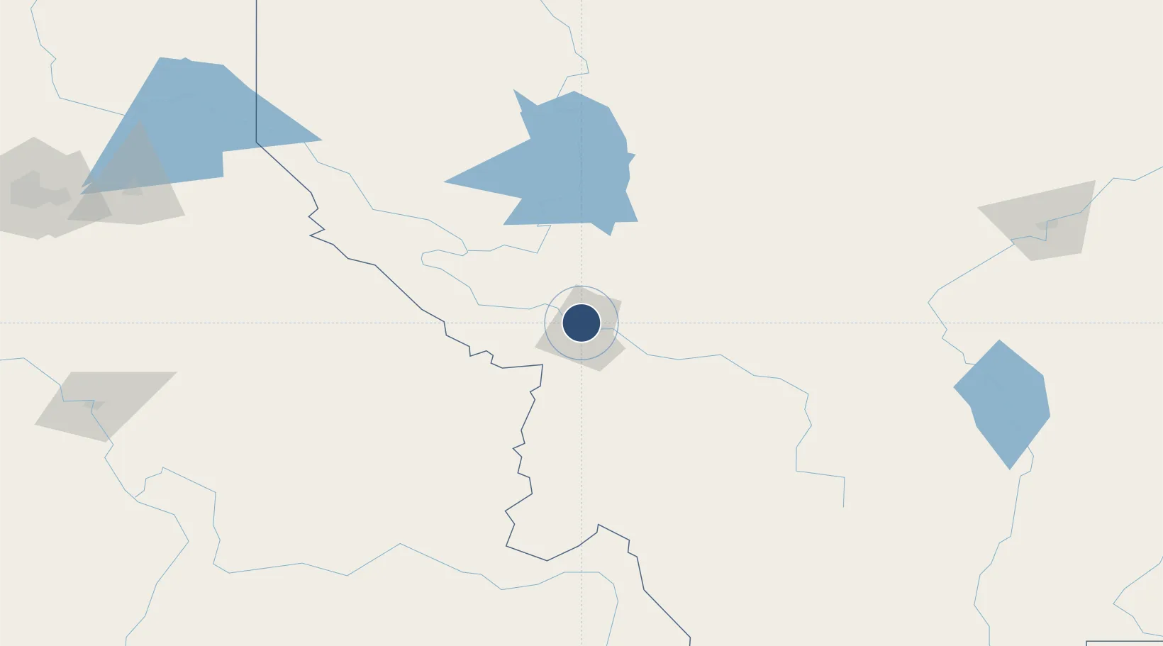
46.9158°, -114.0911°
9,501 ft
Longest runway
2
Runways
3,206 ft
Elevation
Runway & Layout

Radio Frequencies
ATIS
126.65 MHz
TWR
118.4 MHz
GND
121.9 MHz
CTAF
118.4 MHz
A/D
124.9 MHz
SPOKANE APP/DEP
RDO
122.45 MHz
GREAT FALLS RDO
UNIC
122.95 MHz
UNICOM
Navaids
INE NDB Konna 521 kHz
MSO VOR-DME Missoula 112.80 MHz
Runways · 2
| Runway | Dimensions | Surface | True heading | Lit |
|---|---|---|---|---|
| 11/29 | 9,501 × 150ft | Asphalt | 130° | ✓ |
| 07/25 | 4,612 × 75ft | Asphalt | 089° | ✓ |
Airport Specifications
IATA code
MSO
ICAO code
KMSO
Airport class
Medium airport
Scheduled service
Yes
Runway surface
Asphalt
Served city
Missoula
Location
Nearby Logistics Neighbours
Airports
Cities
- 1Arlee26 km
- 2Stevensville46 km
- 3Corvallis69 km
- 4Thompson Falls122 km
- 5Bigfork128 km
Ports
- 1The Dalles564 km
- 2Everett622 km
- 3Seattle626 km
- 4Mukilteo628 km
- 5Tacoma631 km
Trade Zones
- 1FTZ No. 274 Butte-Silver Bow144 km
- 2FTZ No. 275 Lansing156 km
- 3FTZ No. 088 Great Falls210 km
- 4FTZ No. 187 Toole County231 km
- 5FTZ No. 224 Spokane269 km
DatabookThe Record of Consolidated Knowledge
United States beyond logistics?