Channel & Berth Profile
Pilotage, Tugs & Services
Pilotage compulsoryYES
Shore powerYES
Potable waterYES
Diesel bunkersYES
MedicalYES
Garbage disposalYES
Facilities & Capabilities
Container—
Ro-Ro—
Liquid bulk—
Dry bulk—
Oil terminal—
Break bulk—
Dry dock—
Repairs—
BunkeringYES
Rail linkYES
Dangerous cargo—
ISPS security—
Harbour Specifications
Harbour size
Very Small
Harbour type
Coastal (Natural)
Shelter
Good
Water body
Alaska-Canada coastal waters; North Pacific Ocean
Tidal range
2.4 m
Pilotage
Yes
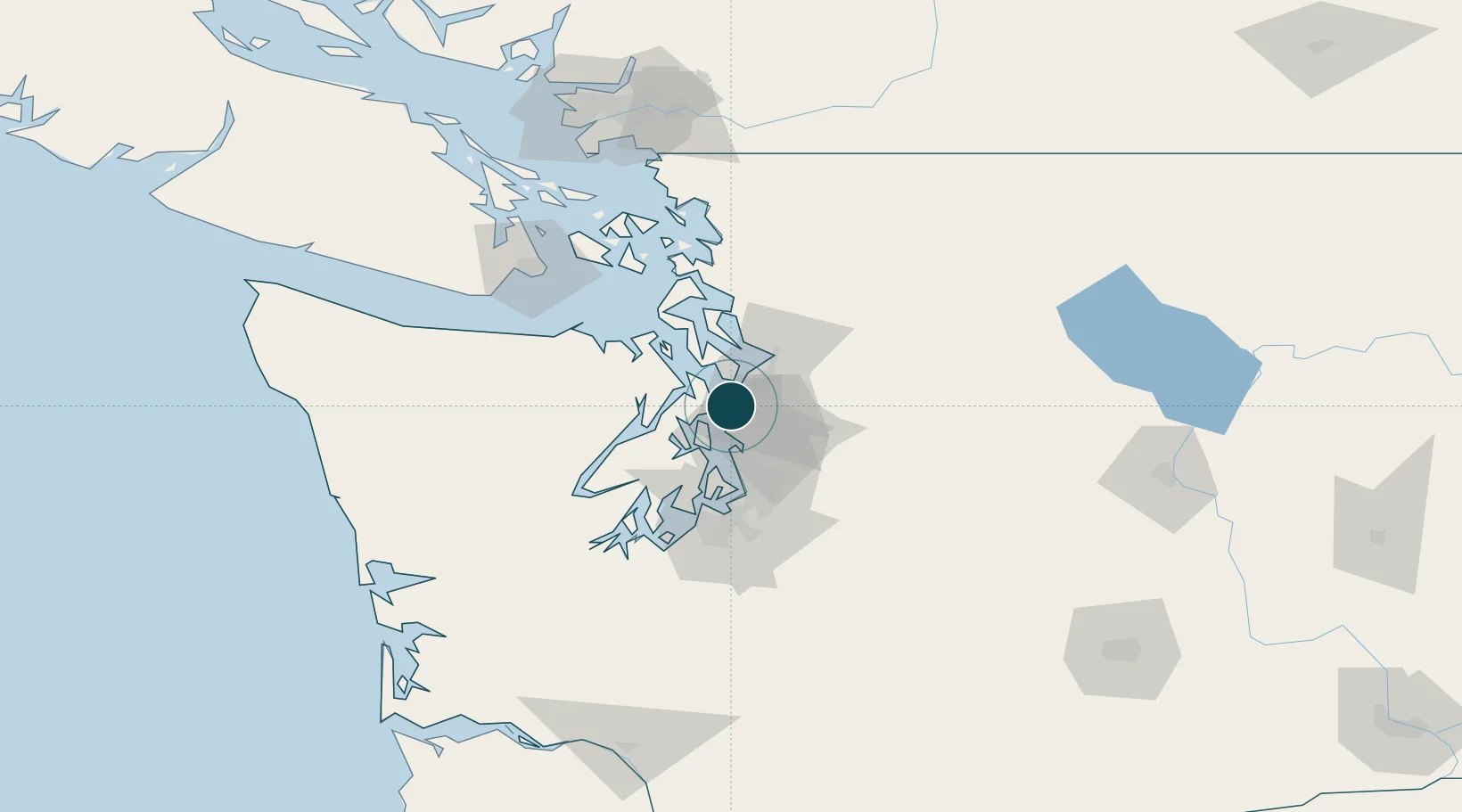
Location
Nearby Logistics Neighbours
Ports
- 1Port Gamble16 km
- 2Keyport19 km
- 3Poulsbo20 km
- 4Mukilteo20 km
- 5Seattle21 km
Cities
- 1Puget Sound5 km
- 2Lynnwood6 km
- 3Shoreline6 km
- 4Bothell15 km
- 5Port Madison16 km
Airports
Trade Zones
- 1FTZ No. 005 Seattle20 km
- 2FTZ No. 085 Everett28 km
- 3FTZ No. 086 Tacoma58 km
- 4FTZ No. 212 Tacoma60 km
- 5FTZ No. 216 Olympia92 km
DatabookThe Record of Consolidated Knowledge
United States beyond logistics?