Foreign Trade Zone · United States

FTZ No. 088 Great Falls Active

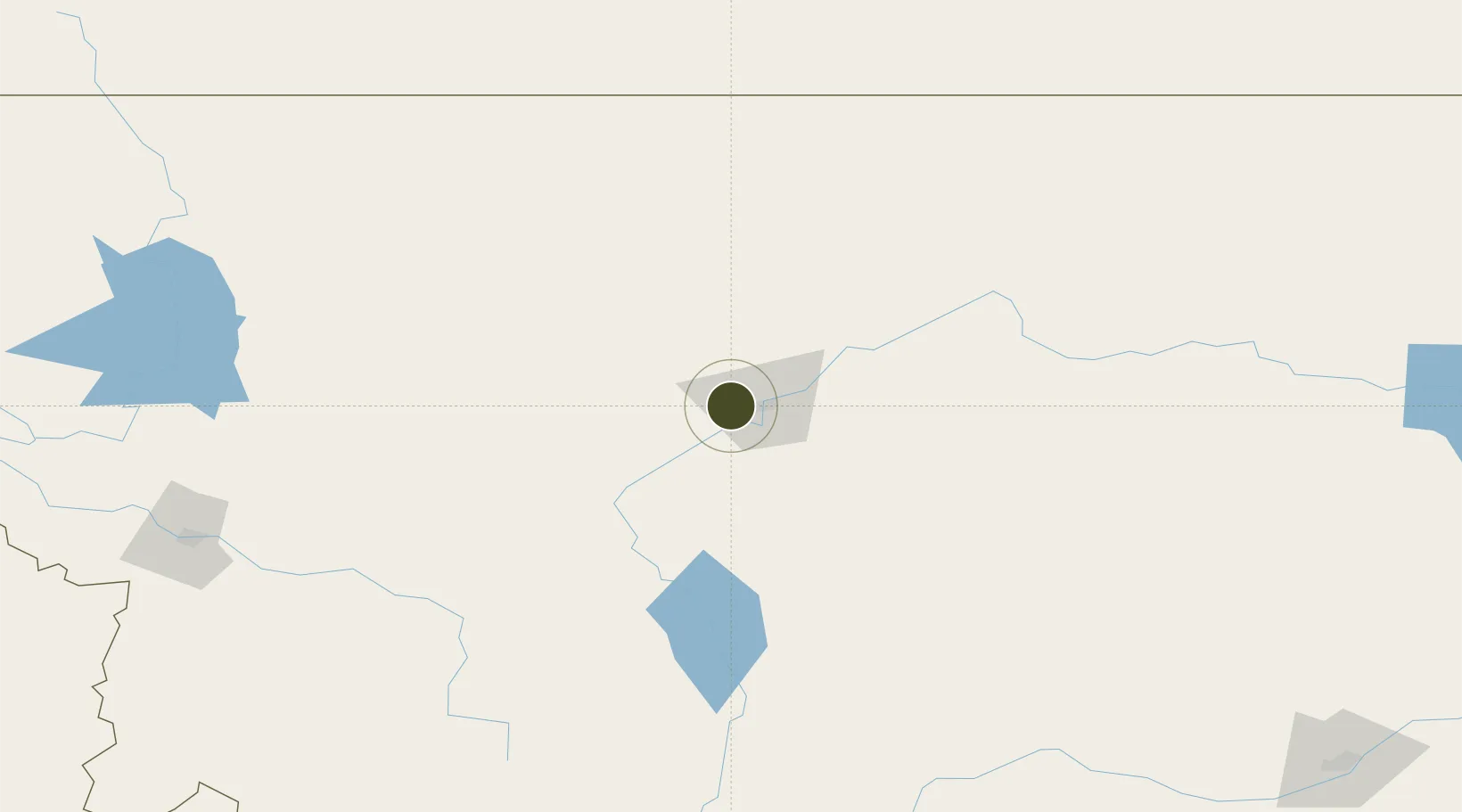
47.5047°, -111.4436°
773.7 km
Nearest port
6.0 km
Nearest airport

Gateway access

Nearest neighbours — logibook spatial index (haversine) over the source coordinates

Zone profile

Zone type
Foreign Trade Zone
Open Zone Map
Region
Montana
Open Zone Map
Status
Active
Open Zone Map
Management
Public
Open Zone Map
Operator
Great Falls International Airport Authority
Open Zone Map
Legal framework
Foreign-Trade Zones Act
Open Zone Map

Location

Location of ozm-4875
Natural Earth 10m (public domain) · Montana · ozm-4875 · 47.50, -111.44GoogleOSMYandex

Nearby Logistics Neighbours

Ports
  1. 1The Dalles774 km
  2. 2Everett807 km
  3. 3Mukilteo813 km
  4. 4Seattle817 km
  5. 5Mission City819 km
Nearest neighbours — logibook spatial index (haversine) over the source coordinates
Airports
  1. 1Great Falls International Airport6 km
  2. 2Helena Regional Airport108 km
  3. 3Cut Bank International Airport141 km
  4. 4Lewistown Municipal Airport158 km
  5. 5Havre City County Airport170 km
Nearest neighbours — logibook spatial index (haversine) over the source coordinates
Cities
  1. 1Stockett27 km
  2. 2Cascade32 km
  3. 3Fort Benton67 km
  4. 4Montana City114 km
  5. 5Clancy123 km
Nearest neighbours — logibook spatial index (haversine) over the source coordinates
Trade Zones
  1. 1FTZ No. 187 Toole County138 km
  2. 2FTZ No. 275 Lansing186 km
  3. 3FTZ No. 274 Butte-Silver Bow210 km
  4. 4FTZ No. 242 Boundary County422 km
  5. 5Calgary Region Inland Port438 km
Nearest neighbours — logibook spatial index (haversine) over the source coordinates
DatabookThe Record of Consolidated Knowledge
United States beyond logistics?
Browse databook

All Sources

Trade ZonesOpen Zone Map
CC BY
Portsthe NGA World Port Index
Public domain (US gov)
AirportsOurAirports
Public domain
LocationsUN/LOCODE
UN/LOCODE — free
← United States trade zones