Foreign Trade Zone · United States
FTZ No. 274 Butte-Silver Bow Active
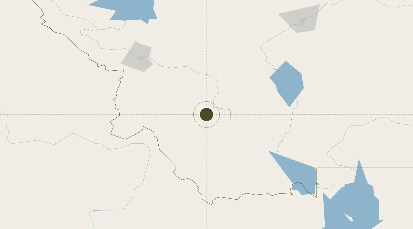
45.9050°, -112.9179°
641.9 km
Nearest port
33.0 km
Nearest airport
Gateway access
Zone profile
Zone type
Foreign Trade Zone
Region
Montana
Status
Active
Management
Public
Operator
City and County of Butte-Silver Bow
Legal framework
Foreign-Trade Zones Act
Location
Nearby Logistics Neighbours
Ports
- 1The Dalles642 km
- 2Washougal732 km
- 3Camas736 km
- 4Seattle741 km
- 5Tacoma741 km
Airports
- 1Bert Mooney Airport33 km
- 2Helena Regional Airport106 km
- 3Lemhi County Airport115 km
- 4Bozeman Yellowstone International Airport137 km
- 5Missoula Montana Airport144 km
Cities
- 1Clancy95 km
- 2Corvallis101 km
- 3Montana City103 km
- 4Three Forks Junction103 km
- 5Stevensville112 km
Trade Zones
- 1FTZ No. 275 Lansing32 km
- 2FTZ No. 088 Great Falls210 km
- 3FTZ No. 187 Toole County304 km
- 4FTZ No. 224 Spokane399 km
- 5FTZ No. 280 Ada and Canyon Counties423 km
DatabookThe Record of Consolidated Knowledge
United States beyond logistics?