Medium airport · United States
Coeur D'Alene Airport - Pappy Boyington FieldKCOE
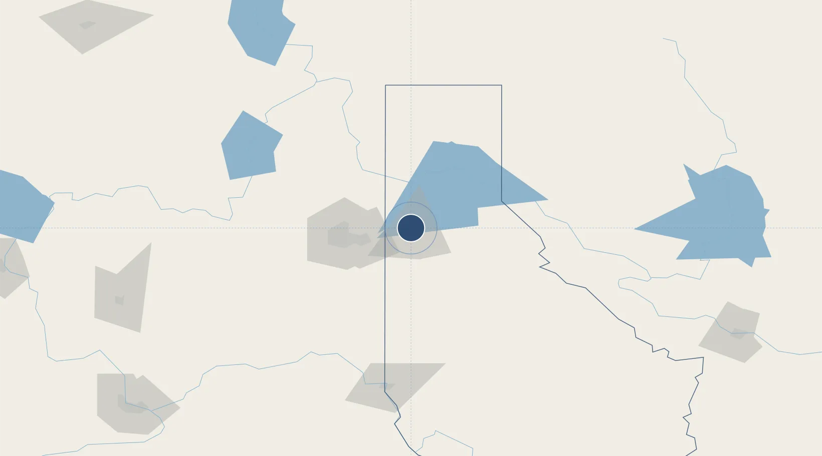
47.7743°, -116.8200°
7,400 ft
Longest runway
2
Runways
2,320 ft
Elevation
Runway & Layout

Radio Frequencies
AWOS
135.075 MHz
AWOS 3
A/D
132.1 MHz
SPOKANE APP/DEP
CNTR
123.95 MHz
SEATTLE CNTR
RDO
122.05 MHz
BOISE RDO
UNIC
122.8 MHz
CTAF/UNICOM
Runways · 2
| Runway | Dimensions | Surface | True heading | Lit |
|---|---|---|---|---|
| 06/24 | 7,400 × 100ft | Asphalt | 070° | ✓ |
| 02/20 | 5,400 × 75ft | Asphalt | 032° | ✓ |
Airport Specifications
IATA code
COE
ICAO code
KCOE
Airport class
Medium airport
Scheduled service
No
Runway surface
Asphalt
Served city
Coeur d'Alene
Location
Nearby Logistics Neighbours
Airports
- 1Felts Field39 km
- 2Spokane International Airport56 km
- 3Fairchild Air Force Base65 km
- 4Pullman-Moscow Regional Airport117 km
- 5Trail Regional Airport154 km
Cities
- 1Hayden Lake3 km
- 2Rathdrum6 km
- 3Dalton Gardens6 km
- 4Greenacres27 km
- 5Mica39 km
Ports
- 1Everett403 km
- 2Mukilteo409 km
- 3The Dalles411 km
- 4Seattle413 km
- 5Point Wells417 km
Trade Zones
- 1FTZ No. 224 Spokane51 km
- 2FTZ No. 242 Boundary County109 km
- 3FTZ No. 203 Moses Lake202 km
- 4FTZ No. 187 Toole County348 km
- 5FTZ No. 274 Butte-Silver Bow362 km
DatabookThe Record of Consolidated Knowledge
United States beyond logistics?