Medium airport · United States
Glacier Park International AirportKGPI
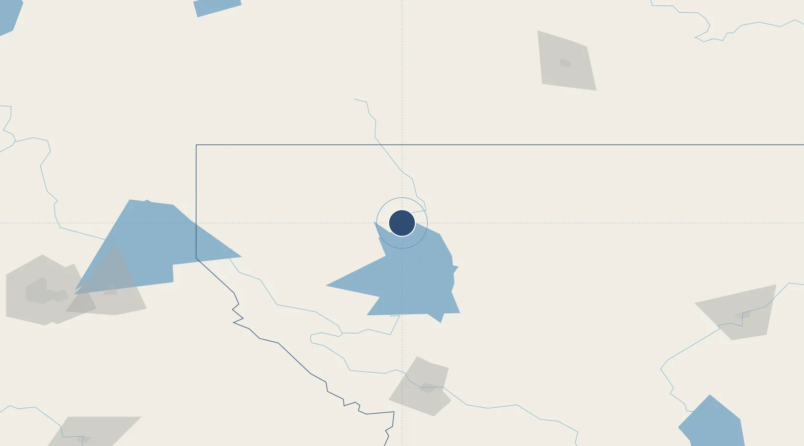
48.3105°, -114.2560°
9,007 ft
Longest runway
2
Runways
2,977 ft
Elevation
Runway & Layout

Radio Frequencies
ATIS
132.625 MHz
TWR
124.55 MHz
GND
121.6 MHz
CTAF
124.55 MHz
CNTR
133.4 MHz
SALT LAKE CITY CNTR
RCO
122.5 MHz
GREAT FALLS RDO
UNIC
122.95 MHz
UNICOM
Runways · 2
| Runway | Dimensions | Surface | True heading | Lit |
|---|---|---|---|---|
| 02/20 | 9,007 × 150ft | Asphalt | 035° | ✓ |
| 12/30 | 3,510 × 75ft | Asphalt | 136° | ✓ |
Airport Specifications
IATA code
FCA
ICAO code
KGPI
Airport class
Medium airport
Scheduled service
Yes
Runway surface
Asphalt
Served city
Kalispell
Location
Nearby Logistics Neighbours
Airports
Cities
- 1Columbia Falls9 km
- 2Bigfork31 km
- 3Rexford94 km
- 4Roosville96 km
- 5Roosville96 km
Ports
- 1Everett591 km
- 2Mission City594 km
- 3Mukilteo598 km
- 4The Dalles606 km
- 5Seattle606 km
Trade Zones
- 1FTZ No. 187 Toole County149 km
- 2FTZ No. 242 Boundary County195 km
- 3FTZ No. 088 Great Falls228 km
- 4FTZ No. 224 Spokane250 km
- 5FTZ No. 274 Butte-Silver Bow286 km
DatabookThe Record of Consolidated Knowledge
United States beyond logistics?